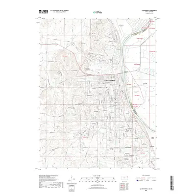
2018 Map of Leavenworth
USGS Topo · Published 2018About this map
Leavenworth and Lansing anchor this 2018 survey of the Kansas-Missouri border, defined by the winding course of the Missouri River. The landscape is heavily influenced by federal and military presence, notably marked by the United States Penitentiary in Leavenworth Cemetery and the northern sprawl of Sherman Army Airfield. The river creates distinct landforms such as Leavenworth Island and Stigers Island, while the western terrain rises toward Pilot Knob Ridge and Sentinel Hill. Genealogists will find a high concentration of burial sites, including Mount Muncie Cemetery, Greenwood Cemetery, and Thorn Hill Cemetery. The transition from the urban grid of Leavenworth to the surrounding smaller communities like Bain City and Cochrane illustrates the ongoing development of this historic riverfront region near the old Santa Fe Trail.
Find a feature on this map
127 named features on this map. Tap any name to fly to it.
Don’t see what you’re looking for? This feature index may not catch every label — zoom into the map to look around manually.
Map Details
Editions of this 2018 Leavenworth Map
This is the sole edition of this map. No revisions or reprints were ever made.
Other maps of this area

1886 · Oskaloosa
USGS Topo · 1:125,000

1888 · Oskaloosa
USGS Topo · 1:125,000

1890 · Kansas City
USGS Topo · 1:125,000

1894 · Kansas City
USGS Topo · 1:125,000

1894 · Oskaloosa
USGS Topo · 1:125,000

1910 · Leavenworth
USGS Topo · 1:62,500

1934 · Bonner Springs
USGS Topo · 1:48,000

1934 · Wolcott
USGS Topo · 1:24,000

1940 · Bonner Springs
USGS Topo · 1:62,500
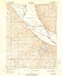
1948 · Wolcott
USGS Topo · 1:24,000