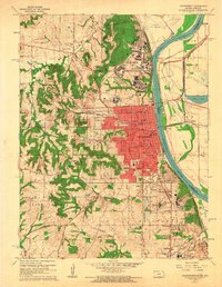
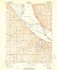
1961 Map of Leavenworth
USGS Topo · Published 1962About this map
Leavenworth serves as a dense municipal and institutional hub along the western bank of the Missouri River in this early 1960s revision. The city is flanked by a significant concentration of state and federal infrastructure, including the Fort Leavenworth Military Reservation and Sherman Army Airfield to the north, and the Kansas State Penitentiary near Lansing to the south. The landscape is characterized by a sophisticated transport network where the Union Pacific and Chicago Great Western railroads intersect with the river’s passage, punctuated by the Centennial Bridge (Toll).
Find a feature on this map
83 named features on this map. Tap any name to fly to it.
Don’t see what you’re looking for? This feature index may not catch every label — zoom into the map to look around manually.
Map Details
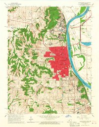
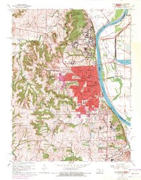
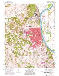
Editions of this 1961 Leavenworth Map
4 editions found
Other maps of this area

1886 · Oskaloosa
USGS Topo · 1:125,000

1888 · Oskaloosa
USGS Topo · 1:125,000

1890 · Kansas City
USGS Topo · 1:125,000

1894 · Kansas City
USGS Topo · 1:125,000

1894 · Oskaloosa
USGS Topo · 1:125,000

1910 · Leavenworth
USGS Topo · 1:62,500

1934 · Bonner Springs
USGS Topo · 1:48,000

1934 · Wolcott
USGS Topo · 1:24,000

1940 · Bonner Springs
USGS Topo · 1:62,500
1948 · Wolcott
USGS Topo · 1:24,000