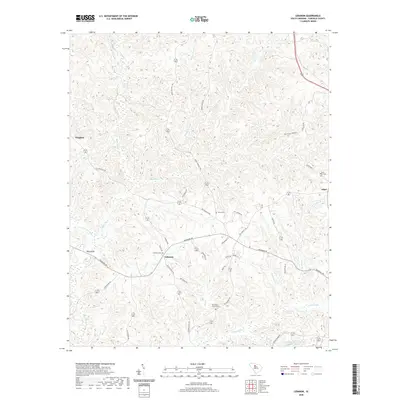
2020 Map of Lebanon
USGS Topo · Published 2020About this map
The Lebanon community of Fairfield County is defined by its deep network of tributaries feeding into the Little River and the W Fork Little River. In this corner of South Carolina, the landscape is etched with the history of local families and congregations, evidenced by landmarks such as Lebanon Cem and the Old Stone Church Cem. The rural road network, including the prominent Newberry Rd, connects these small settlements like Douglass and Adger across a terrain dominated by creek systems. Genealogists will find interest in the scattered burial grounds like Turner Cem and Saint Johns Cem that anchor the local heritage. Modern water management is visible in the southeastern portion of the quadrangle with the Jackson Mill Cr Watershed Structure Number Two, highlighting the region's ongoing relationship with its significant drainage basins including Jackson Cr and Jordan Br.
Find a feature on this map
45 named features on this map. Tap any name to fly to it.
Don’t see what you’re looking for? This feature index may not catch every label — zoom into the map to look around manually.
Map Details
Editions of this 2020 Lebanon Map
This is the sole edition of this map. No revisions or reprints were ever made.
Other maps of this area

1904 · Columbia
USGS Topo · 1:125,000

1941 · Spartanburg
USGS Topo · 1:250,000

1953 · Spartanburg
USGS Topo · 1:250,000

1960 · Spartanburg
USGS Topo · 1:250,000

1963 · Spartanburg
USGS Topo · 1:250,000

1964 · Spartanburg
USGS Topo · 1:250,000

1968 · Blackstock
USGS Topo · 1:24,000

1969 · Lebanon
USGS Topo · 1:24,000
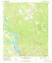
1969 · Jenkinsville
USGS Topo · 1:24,000
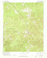
1969 · Salem Crossroads
USGS Topo · 1:24,000