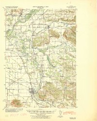
1940 Map of Lebanon
USGS Topo · Published 1940About this map
Lebanon anchors this Willamette Valley landscape, where the confluence of industry and agriculture is marked by the Albany Ditch and the Lebanon Ditch. The late-Depression era geography is defined by a dense network of rural one-room schoolhouses like Happy Home School, Providence School, and Spicer School, reflecting a time before district consolidation transformed these farming communities. The Southern Pacific railroad ties together small trackside settlements such as Shelburn, West Scio, and Gilkey, facilitating the movement of timber and crops through the valley.
Find a feature on this map
78 named features on this map. Tap any name to fly to it.
Don’t see what you’re looking for? This feature index may not catch every label — zoom into the map to look around manually.
Map Details
Editions of this 1940 Lebanon Map
This is the sole edition of this map. No revisions or reprints were ever made.
Other maps of this area
1911 · Brownsville
USGS Topo · 1:31,680
1911 · Lebanon
USGS Topo · 1:31,680
1911 · Tangent
USGS Topo · 1:31,680
1912 · Jefferson
USGS Topo · 1:31,680
1912 · Halsey
USGS Topo · 1:62,500
1915 · Sidney
USGS Topo · 1:31,680
1916 · Albany
USGS Topo · 1:62,500
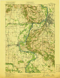
1917 · Salem
USGS Topo · 1:62,500
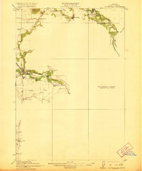
1921 · Brownsville
USGS Topo · 1:62,500
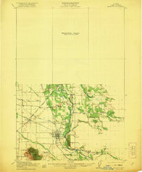
1921 · Lebanon
USGS Topo · 1:62,500