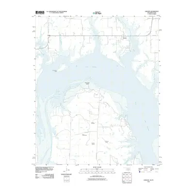
2010 Map of Lebanon
USGS Topo · Published 2010About this map
Lake Texoma dominates the landscape of this Oklahoma-Texas border region, where the reservoir waters have reshaped the historic course of the Red River. The map documents the rural character of Love County through established points like Lebanon and Enville, while highlighting the intricate shoreline features created by the flooding of the valley. Significant landmarks such as Graveyard Bluff and the broad peninsula of Delaware Bend emerge from the water, reflecting the area's transition into a recreational and ranching hub. A network of country roads, including Delaware Bend Rd and Bois D Arc Rd, connects isolated points of interest like the U U Ranch Airport and the Comet Landing Strip. Small watercourses like Slickum Slough and Catlin Creek feed into the larger basin, illustrating the complex hydrology of the watershed south of the Currie Lake Dam.
Find a feature on this map
38 named features on this map. Tap any name to fly to it.
Don’t see what you’re looking for? This feature index may not catch every label — zoom into the map to look around manually.
Map Details
Editions of this 2010 Lebanon Map
This is the sole edition of this map. No revisions or reprints were ever made.
Other maps of this area

1901 · Tishomingo
USGS Topo · 1:125,000

1901 · Ardmore
USGS Topo · 1:125,000

1901 · Denison
USGS Topo · 1:125,000

1902 · Gainesville
USGS Topo · 1:125,000

1918 · Ardmore
USGS Topo · 1:125,000

1943 · Gainesville
USGS Topo · 1:125,000

1954 · Sherman
USGS Topo · 1:250,000

1957 · Ardmore
USGS Topo · 1:250,000

1958 · Gordonville
USGS Topo · 1:62,500

1958 · Sherman
USGS Topo · 1:250,000