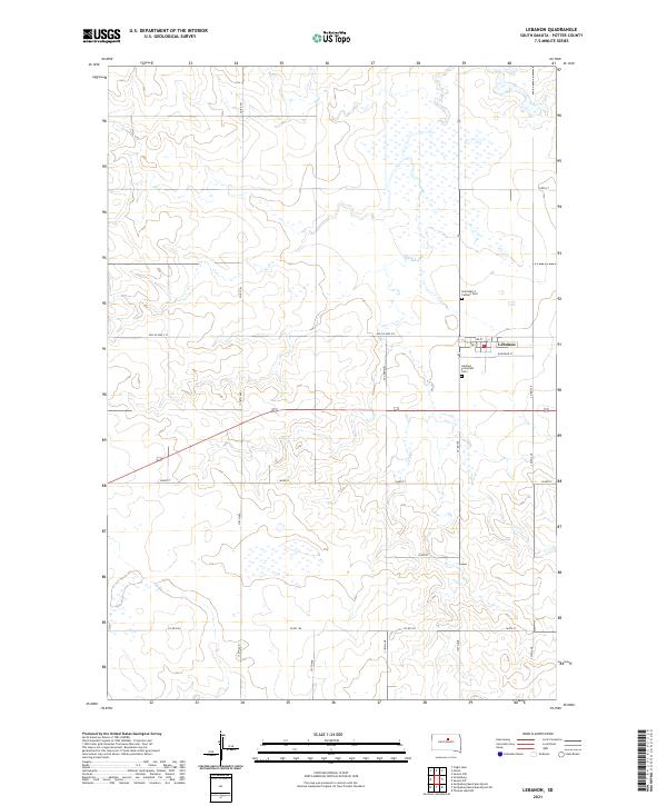
2021 Map of Lebanon
USGS Topo · Published 2021About this map
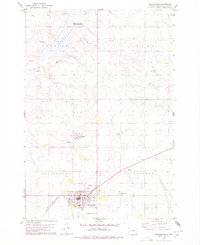
Lebanon anchors this Potter County landscape, situated where the grid of rural township roads meets the path of Old Us Hwy 212. The town's layout is clearly defined by historical thoroughfares such as Railroad St and W Garfield, reflecting the early transport patterns that shaped many small South Dakota settlements. Local heritage is preserved at two distinct burial grounds on the town's edge: Saint Mary's Catholic Cem to the north and Lebanon Protestant Cem to the south. Surrounding the town, the terrain is characterized by numerous small wetlands and depressions that interrupt the strictly ordered sections of T119N and T118N. This modern survey captures the persistence of the town's original street grid, including 2nd St and 3rd St, amidst the vast agricultural expanse of the High Plains.
Find a feature on this map
25 named features on this map. Tap any name to fly to it.
Don’t see what you’re looking for? This feature index may not catch every label — zoom into the map to look around manually.
Map Details
Editions of this 2021 Lebanon Map
This is the sole edition of this map. No revisions or reprints were ever made.
Other maps of this area

1953 · Huron
USGS Topo · 1:250,000

1954 · Aberdeen
USGS Topo · 1:250,000

1954 · Huron
USGS Topo · 1:250,000

1956 · Aberdeen
USGS Topo · 1:250,000

1974 · Hoven
USGS Topo · 1:24,000
1974 · Flight Lake
USGS Topo · 1:24,000
1974 · Gettysburg Muni. Airport NE
USGS Topo · 1:24,000
1978 · Gettysburg Muni. Airport
USGS Topo · 1:24,000
1978 · Gettysburg
USGS Topo · 1:24,000

1978 · Seneca NW
USGS Topo · 1:24,000