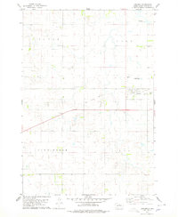
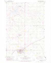
1978 Map of Lebanon
USGS Topo · Published 1978About this map
Lebanon anchors this Potter County landscape in the late 1970s, serving as a concentrated hub of activity amidst a vast network of section lines and township boundaries including L U C A S, C A R R, and C U N N I N G H A M. The town's layout is clearly defined, featuring a local Park and the nearby Lebanon Cem. The map provides a distinct look at the shifting transportation infrastructure of the era, most notably the traces of the Old Railroad Grade and Old RR Grade passing through the area. These features, along with the industrial presence of a Gravel Pit and Sewage Disposal Ponds, reflect the practical developments of a rural South Dakota community during this period of the late twentieth century.
Find a feature on this map
11 named features on this map. Tap any name to fly to it.
Don’t see what you’re looking for? This feature index may not catch every label — zoom into the map to look around manually.
Map Details
Editions of this 1978 Lebanon Map
This is the sole edition of this map. No revisions or reprints were ever made.
Other maps of this area

1953 · Huron
USGS Topo · 1:250,000

1954 · Aberdeen
USGS Topo · 1:250,000

1954 · Huron
USGS Topo · 1:250,000

1956 · Aberdeen
USGS Topo · 1:250,000

1974 · Hoven
USGS Topo · 1:24,000
1974 · Flight Lake
USGS Topo · 1:24,000
1974 · Gettysburg Muni. Airport NE
USGS Topo · 1:24,000
1978 · Gettysburg Muni. Airport
USGS Topo · 1:24,000
1978 · Gettysburg
USGS Topo · 1:24,000

1978 · Seneca NW
USGS Topo · 1:24,000