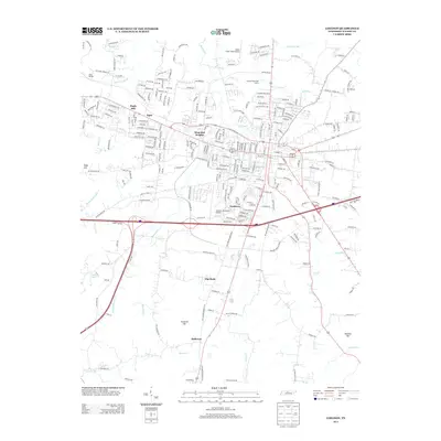
2013 Map of Lebanon
USGS Topo · Published 2013About this map
West End Heights and Maple Hill anchor the residential and commercial expansion of the Lebanon area in this modern topographic study. The landscape is defined by the convergence of major transit corridors and aviation hubs, including the Lebanon Municipal Airport and Cedar Crest Field Airport. Small outlying settlements such as Egan, Forktown, and Holloway suggest the historically fragmented nature of the community before suburban development began to bridge these locales.
Find a feature on this map
245 named features on this map. Tap any name to fly to it.
Don’t see what you’re looking for? This feature index may not catch every label — zoom into the map to look around manually.
Map Details
Editions of this 2013 Lebanon Map
This is the sole edition of this map. No revisions or reprints were ever made.
Other maps of this area

1942 · Statesville
USGS Topo · 1:100,000

1942 · Gallatin
USGS Topo · 1:100,000

1942 · Lebanon
USGS Topo · 1:100,000

1951 · Lebanon
USGS Topo · 1:24,000

1951 · Martha
USGS Topo · 1:24,000

1955 · Laguardo
USGS Topo · 1:24,000

1955 · Hunters Point
USGS Topo · 1:24,000

1956 · Vine
USGS Topo · 1:24,000

1956 · Gladeville
USGS Topo · 1:24,000

1956 · Nashville
USGS Topo · 1:250,000