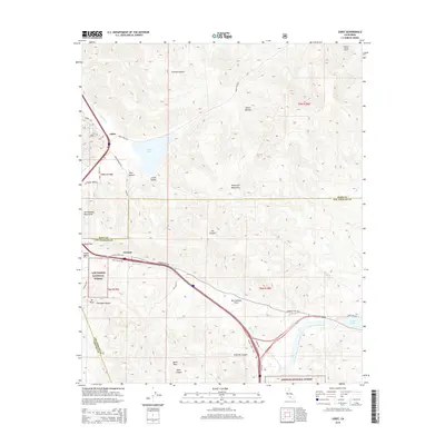
2015 Map of Lebec
USGS Topo · Published 2015About this map
The high mountain pass at Tejon Pass serves as the focal point for this 2015 study of the Tejon Ranch area, where the San Andreas Fault cuts a distinct northwest-to-southeast path across the landscape. The geography is defined by the convergence of the Tehachapi Mountains, the Sierra Nevada, and the San Emigdio Mountains, creating a corridor for vital transportation and water infrastructure. Modern engineering is visible in the path of the Governor Edmund G Brown West-Branch California Aqueduct and the Carley V Porter Tunnel, which channel water through the mountain ranges toward southern California.
Find a feature on this map
85 named features on this map. Tap any name to fly to it.
Don’t see what you’re looking for? This feature index may not catch every label — zoom into the map to look around manually.
Map Details
Editions of this 2015 Lebec Map
This is the sole edition of this map. No revisions or reprints were ever made.
Other maps of this area

1903 · Tejon
USGS Topo · 1:125,000

1933 · Quail
USGS Topo · 1:24,000

1933 · Gorman
USGS Topo · 1:24,000

1938 · Gorman
USGS Topo · 1:24,000

1938 · Quail
USGS Topo · 1:24,000

1942 · Tecuya Creek
USGS Topo · 1:24,000

1942 · Frazier Mountain
USGS Topo · 1:24,000

1943 · Neenach
USGS Topo · 1:62,500
1944 · Frazier Mountain
USGS Topo · 1:31,680
1945 · Pastoria Creek
USGS Topo · 1:31,680