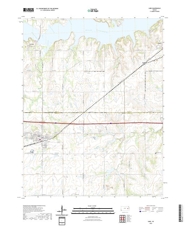
2022 Map of Lebo
USGS Topo · Published 2022About this map
Lebo serves as a central hub for this portion of Eastern Kansas, where the intersection of rural agriculture and waterway management is clearly defined. The northern reaches of the sheet are dominated by the expanse of Melvern Lake and the winding course of the Marais des Cygnes River, while the southern half transitions into a dense grid of township roads. Genealogists and local historians will find significant value in the placement of Lincoln Cem near the town center and Key West Cem to the east. Small communities like Arvonia, Olivet, and Ridgeton are mapped alongside the natural drainage patterns of Lebo Cr and Frog Creek. The landscape is also marked by the transition between Coffey Co and Osage Co, reflecting the long-established administrative and survey boundaries of the region.
Find a feature on this map
75 named features on this map. Tap any name to fly to it.
Don’t see what you’re looking for? This feature index may not catch every label — zoom into the map to look around manually.
Map Details
Editions of this 2022 Lebo Map
This is the sole edition of this map. No revisions or reprints were ever made.
Other maps of this area

1885 · Burlington
USGS Topo · 1:125,000

1889 · Burlingame
USGS Topo · 1:125,000

1894 · Burlingame
USGS Topo · 1:125,000

1894 · Burlington
USGS Topo · 1:125,000

1947 · Lawrence
USGS Topo · 1:250,000

1950 · Lawrence
USGS Topo · 1:250,000

1956 · Lawrence
USGS Topo · 1:250,000
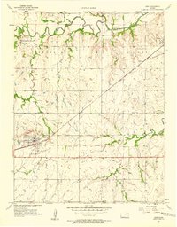
1957 · Lebo
USGS Topo · 1:24,000
1957 · Waverly NW
USGS Topo · 1:24,000
1957 · Lebo NW
USGS Topo · 1:24,000