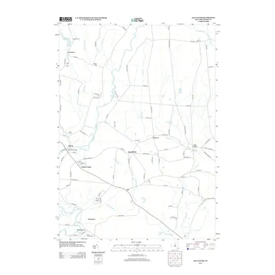
2013 Map of Lee Center
USGS Topo · Published 2013About this map
Taberg and Lee Center anchor this rural landscape in Oneida County, where the network of the E Br Fish Cr and its tributaries define the local geography. The map reveals a transition from the village centers to higher ground at Stace Hill, while the Oneida City Reservoir sits at the northern edge of this agricultural and wooded region. Several historical burial grounds, including Maple Hill Cem and Smith Cem, are scattered across the landscape, providing essential touchpoints for genealogical research. The presence of the Becks Grove Airport and the Main Street Bridge in Taberg highlights the local infrastructure that supports these small communities. Numerous small brooks like Christian Brook and Fall Brook flow through the territory, illustrating the complex drainage system feeding into the larger creek basins.
Find a feature on this map
96 named features on this map. Tap any name to fly to it.
Don’t see what you’re looking for? This feature index may not catch every label — zoom into the map to look around manually.
Map Details
Editions of this 2013 Lee Center Map
This is the sole edition of this map. No revisions or reprints were ever made.
Other maps of this area

1895 · Oriskany
USGS Topo · 1:62,500

1895 · Oneida
USGS Topo · 1:62,500

1898 · Oneida
USGS Topo · 1:62,500

1898 · Oriskany
USGS Topo · 1:62,500

1902 · Oneida
USGS Topo · 1:62,500

1904 · Boonville
USGS Topo · 1:62,500

1905 · Taberg
USGS Topo · 1:62,500

1939 · Oneida
USGS Topo · 1:62,500

1943 · East Florence
USGS Topo · 1:31,680

1943 · Camden East
USGS Topo · 1:31,680