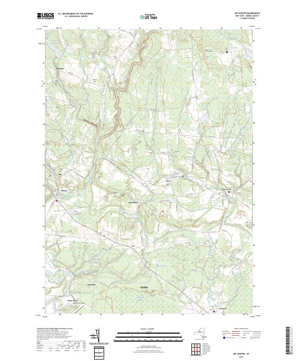
2023 Map of Lee Center
USGS Topo · Published 2023About this map
East Branch Fish Creek and Canada Creek define the drainage of this Oneida County landscape, where early hamlets like Lee Center and Taberg remain central to the rural character. The map documents a dense network of country roads including Sulphur Springs Rd and Coal Hill Rd, which connect historic clusters such as West Lee and Brookfield. For genealogists, several burial grounds are preserved on the sheet, including Maple Hill Cem and Smith Cem near the northern border. A distinctive local landmark, the Becks Grove Airport, is situated near the Fish Creek confluence, while the southern reaches transition into the preserved wetlands of Huckleberry Swamp within the city limits of Rome. This contemporary survey captures the persistent rural-residential patterns of the Mohawk Valley's northern fringe.
Find a feature on this map
90 named features on this map. Tap any name to fly to it.
Don’t see what you’re looking for? This feature index may not catch every label — zoom into the map to look around manually.
Map Details
Editions of this 2023 Lee Center Map
This is the sole edition of this map. No revisions or reprints were ever made.
Other maps of this area

1895 · Oriskany
USGS Topo · 1:62,500

1895 · Oneida
USGS Topo · 1:62,500

1898 · Oneida
USGS Topo · 1:62,500

1898 · Oriskany
USGS Topo · 1:62,500

1902 · Oneida
USGS Topo · 1:62,500

1904 · Boonville
USGS Topo · 1:62,500

1905 · Taberg
USGS Topo · 1:62,500

1939 · Oneida
USGS Topo · 1:62,500

1943 · East Florence
USGS Topo · 1:31,680

1943 · Camden East
USGS Topo · 1:31,680