Loading...
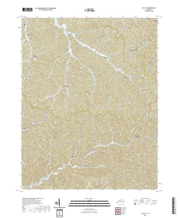
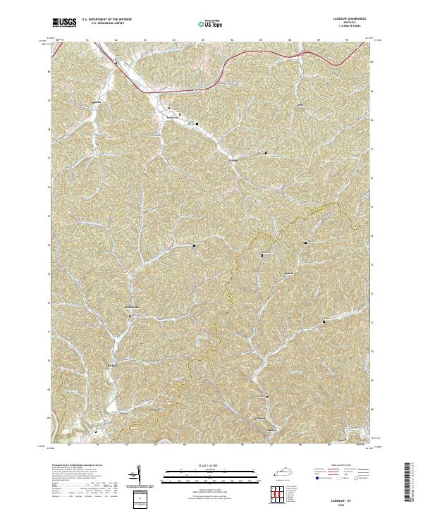
Loading map...2022 Map of Lee City
USGS Topo · Published 2022About this map
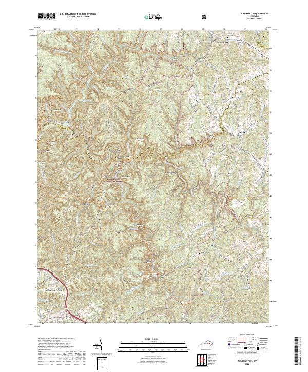
Lee City serves as the focal point of this Eastern Kentucky landscape, where the Red River carves through a labyrinth of hollows and ridges at the intersection of Wolfe, Morgan, Magoffin, and Breathitt counties. The map documents a classic Appalachian settlement pattern, where small communities like Gillmore, Rosefork, and Belknap are tightly clustered along narrow creek bottoms such as Johnson Cr and Rose Fork.
Find a feature on this map
74 named features on this map. Tap any name to fly to it.
Don’t see what you’re looking for? This feature index may not catch every label — zoom into the map to look around manually.
Map Details
Date Portrayed2022
Date Published2022
PublisherU.S. Geological Survey
Map TypeTopographic
Scale1:24000
Physical Dimensions24 x 29 inches
Editions of this 2022 Lee City Map
This is the sole edition of this map. No revisions or reprints were ever made.
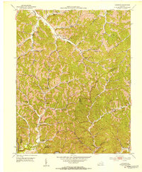
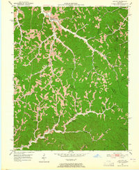
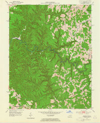
Historical Maps of Mountain Valley Through Time
9 maps found
Featured Locations
Source Details
SourceU.S. Geological Survey
CopyrightPublic Domain