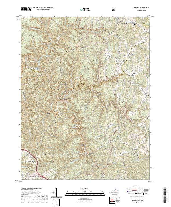
2022 Map of Pomeroyton
USGS Topo · Published 2022About this map
Pomeroyton lies in the northern reaches of this map, situated near the intersection of the Menifee and Morgan county lines. This part of the Daniel Boone National Forest is defined by a dense concentration of natural geological landmarks and sandstone formations. Prominent features include Cloud Splitter, Tower Rock, and Rock Bridge Arch, while the Red River and Swift Camp Creek wind through the topography.
Find a feature on this map
66 named features on this map. Tap any name to fly to it.
Don’t see what you’re looking for? This feature index may not catch every label — zoom into the map to look around manually.
Map Details
Editions of this 2022 Pomeroyton Map
This is the sole edition of this map. No revisions or reprints were ever made.
Other maps of this area

1889 · Salyersville
USGS Topo · 1:125,000

1891 · Salyersville
USGS Topo · 1:125,000

1892 · Beattyville
USGS Topo · 1:125,000

1899 · Salyersville
USGS Topo · 1:125,000

1951 · Landsaw
USGS Topo · 1:24,000

1951 · Ezel
USGS Topo · 1:24,000

1951 · Hazel Green
USGS Topo · 1:24,000

1951 · Pomeroyton
USGS Topo · 1:24,000

1952 · Scranton
USGS Topo · 1:24,000

1952 · Frenchburg
USGS Topo · 1:24,000