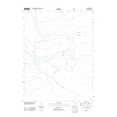
2012 Map of Lee
USGS Topo · Published 2012About this map
The S Fork Humboldt River carves through this high-desert landscape in Elko County, serving as the central artery for a scattering of established ranching outposts. The settlement of Lee Po anchors the western edge of the map, while family-named holdings like Gund Ranch, Magnuson Ranch, and Wysong Ranch illustrate the enduring agricultural footprint in the region. The terrain is defined by its drainage network, with seasonal and perennial flows such as Pearl Cr and Rattlesnake Cr feeding into the main river system.
Find a feature on this map
31 named features on this map. Tap any name to fly to it.
Don’t see what you’re looking for? This feature index may not catch every label — zoom into the map to look around manually.
Map Details
Editions of this 2012 Lee Map
This is the sole edition of this map. No revisions or reprints were ever made.
Other maps of this area

1934 · Jiggs
USGS Topo · 1:125,000

1935 · Halleck
USGS Topo · 1:125,000

1937 · Jiggs
USGS Topo · 1:125,000

1955 · Elko
USGS Topo · 1:250,000

1958 · Elko
USGS Topo · 1:250,000

1959 · Jiggs
USGS Topo · 1:62,500

1962 · Elko
USGS Topo · 1:250,000

1962 · Lee
USGS Topo · 1:62,500

1962 · Lamoille
USGS Topo · 1:62,500

1965 · Elko
USGS Topo · 1:250,000