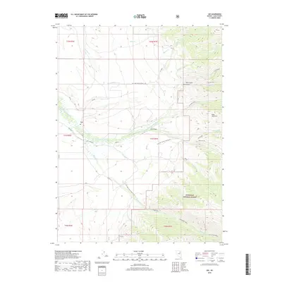
2018 Map of Lee
USGS Topo · Published 2018About this map
The small settlement of Lee sits at the foot of the Ruby Mountains in Elko County, where the S Fork Humboldt River flows through the high desert landscape. This 2018 survey detail shows the local Po and a network of rural roads such as Lee Rd and Long Canyon Rd that connect the canyon mouths to the river valley. The eastern half of the map is dominated by the steep ascent into the Humboldt National Forest, defined by deep incisions like Echo Canyon and Box Canyon.
Find a feature on this map
41 named features on this map. Tap any name to fly to it.
Don’t see what you’re looking for? This feature index may not catch every label — zoom into the map to look around manually.
Map Details
Editions of this 2018 Lee Map
This is the sole edition of this map. No revisions or reprints were ever made.
Other maps of this area

1934 · Jiggs
USGS Topo · 1:125,000

1935 · Halleck
USGS Topo · 1:125,000

1937 · Jiggs
USGS Topo · 1:125,000

1955 · Elko
USGS Topo · 1:250,000

1958 · Elko
USGS Topo · 1:250,000

1959 · Jiggs
USGS Topo · 1:62,500

1962 · Elko
USGS Topo · 1:250,000

1962 · Lee
USGS Topo · 1:62,500

1962 · Lamoille
USGS Topo · 1:62,500

1965 · Elko
USGS Topo · 1:250,000