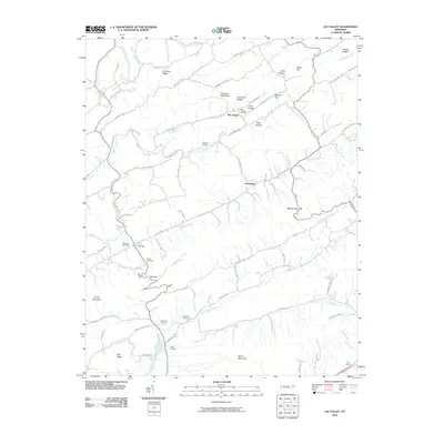
2010 Map of Lee Valley
USGS Topo · Published 2010About this map
The ridge-and-valley topography of Hancock County is sharply defined by the towering Clinch Mountain and Pine Ridge, which channel the flow of Poor Valley Creek and Big War Creek. Small communities and post offices like New Hope and the Treadway Post Office anchor the landscape, connected by a network of rural roads such as Old State Rte 31 and Clinch Valley RD. The map reveals a deeply rooted settlement pattern, documented by numerous family burial grounds including Murrell Cemetery, Davis Cemetery, and McGinnis Cemetery. To the south, industrial activity is marked by the Price Quarry near Short Mountain, while the northern terrain is broken by a series of gaps and hollows, such as Chestnut Flats Gap and Bear Hollow, illustrating the topographical challenges of travel between Duck Creek and the surrounding heights.
Find a feature on this map
74 named features on this map. Tap any name to fly to it.
Don’t see what you’re looking for? This feature index may not catch every label — zoom into the map to look around manually.
Map Details
Editions of this 2010 Lee Valley Map
This is the sole edition of this map. No revisions or reprints were ever made.
Other maps of this area

1883 · Morristown
USGS Topo · 1:125,000

1887 · Jonesville
USGS Topo · 1:125,000

1891 · Jonesville
USGS Topo · 1:125,000

1893 · Morristown
USGS Topo · 1:125,000

1895 · Morristown
USGS Topo · 1:125,000

1932 · Hagan
USGS Topo · 1:62,500

1935 · Rogersville
USGS Topo · 1:48,000

1935 · Tate Springs
USGS Topo · 1:48,000

1935 · Kyles Ford
USGS Topo · 1:24,000

1935 · Lee Valley
USGS Topo · 1:24,000