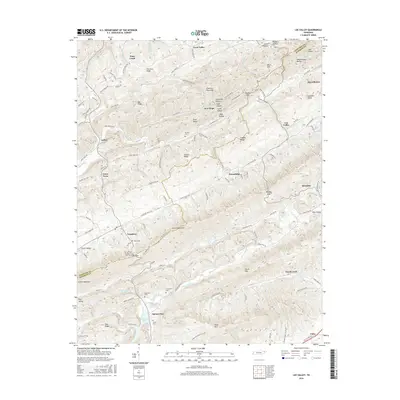
2016 Map of Lee Valley
USGS Topo · Published 2016About this map
Clinch Mountain and a sequence of parallel ridges define the landscape of eastern Tennessee along the Hancock and Hawkins county line. This 2016 survey shows the deeply rural character of the region, where narrow valleys like Trent Valley and Pumpkin Valley provide the primary corridors for settlement and agriculture. Small communities such as Treadway, Duck Creek, and Spruce Pine are scattered throughout these lowlands, often organized around a central road or creek.
Find a feature on this map
117 named features on this map. Tap any name to fly to it.
Don’t see what you’re looking for? This feature index may not catch every label — zoom into the map to look around manually.
Map Details
Editions of this 2016 Lee Valley Map
This is the sole edition of this map. No revisions or reprints were ever made.
Other maps of this area

1883 · Morristown
USGS Topo · 1:125,000

1887 · Jonesville
USGS Topo · 1:125,000

1891 · Jonesville
USGS Topo · 1:125,000

1893 · Morristown
USGS Topo · 1:125,000

1895 · Morristown
USGS Topo · 1:125,000

1932 · Hagan
USGS Topo · 1:62,500

1935 · Rogersville
USGS Topo · 1:48,000

1935 · Tate Springs
USGS Topo · 1:48,000

1935 · Kyles Ford
USGS Topo · 1:24,000

1935 · Lee Valley
USGS Topo · 1:24,000