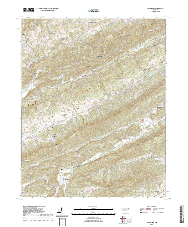
2022 Map of Lee Valley
USGS Topo · Published 2022About this map
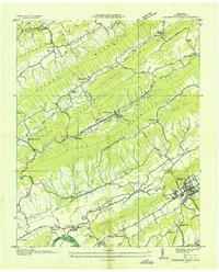
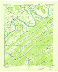
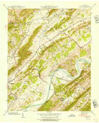
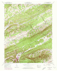
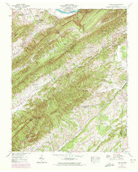
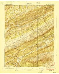
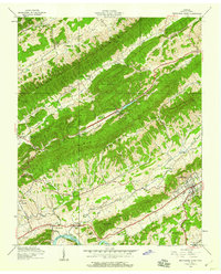
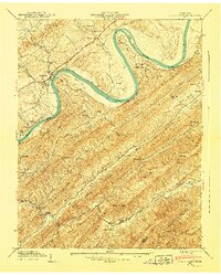
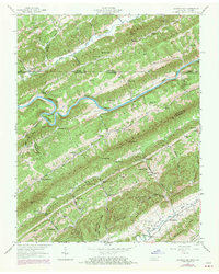
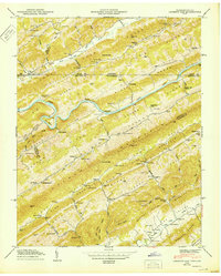
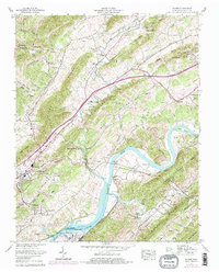
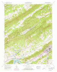
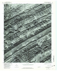
Clinch Mountain and Clinch Valley dominate this landscape along the Hancock and Hawkins County line, where steep ridges and deep hollows dictate the pattern of settlement. Smaller communities like Treadway, Lee Valley, and Friendship follow the valley floors, connected by historic routes such as Clinch Valley Rd and Trent Valley Rd. The map reveals a high concentration of family landmarks and local heritage sites, including the Midway Church and several small burial grounds like Murrell Cem, Davis Cem, and Lovett Cem. Water features such as Big War Cr and Poor Valley Cr wind through the base of War Ridge and Copper Ridge, illustrating how the drainage of the Clinch River system shaped the agricultural and residential development of this part of East Tennessee.
Find a feature on this map
109 named features on this map. Tap any name to fly to it.
Don’t see what you’re looking for? This feature index may not catch every label — zoom into the map to look around manually.
Map Details
Editions of this 2022 Lee Valley Map
This is the sole edition of this map. No revisions or reprints were ever made.
Historical Maps of Yount Town Through Time
28 maps found
1935 Burem
Hawkins County, TN
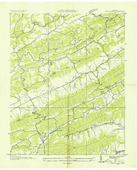
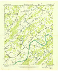
1935 Lee Valley
Hawkins County, TN

1935 Looneys Gap
Hawkins County, TN

1935 Lovelace
Hawkins County, TN
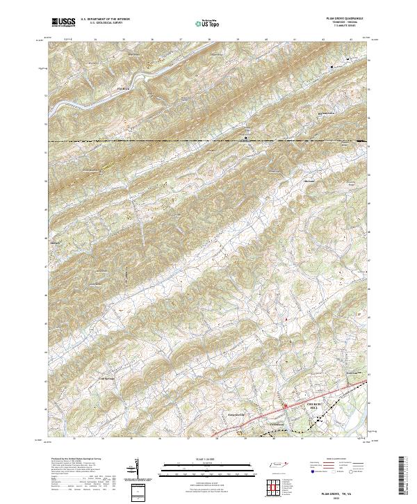
1935 Plum Grove
Hawkins County, TN
1935 Pressmens Home
Hawkins County, TN
1935 Stonypoint
Hawkins County, TN
1939 Burem
Hawkins County, TN
1939 Lee Valley
Hawkins County, TN
1939 Lovelace
Hawkins County, TN
1939 Plum Grove
Hawkins County, TN
1939 Stony Point
Hawkins County, TN
1940 Burem
Hawkins County, TN
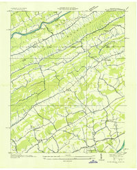
1940 Lee Valley
Hawkins County, TN
1940 Pressmens Home
Hawkins County, TN
1940 Stony Point
Hawkins County, TN
1947 Looneys Gap
Hawkins County, TN
1950 Looneys Gap
Hawkins County, TN
1961 Burem
Hawkins County, TN
1961 Camelot
Hawkins County, TN
1976 Looneys Gap
Hawkins County, TN
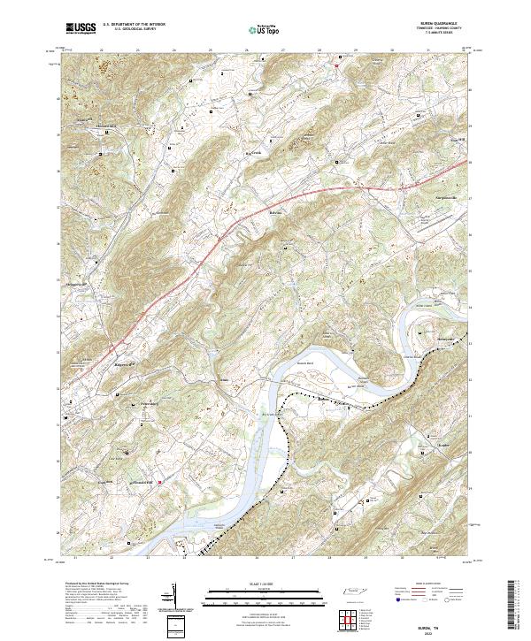
2022 Burem
Hawkins County, TN
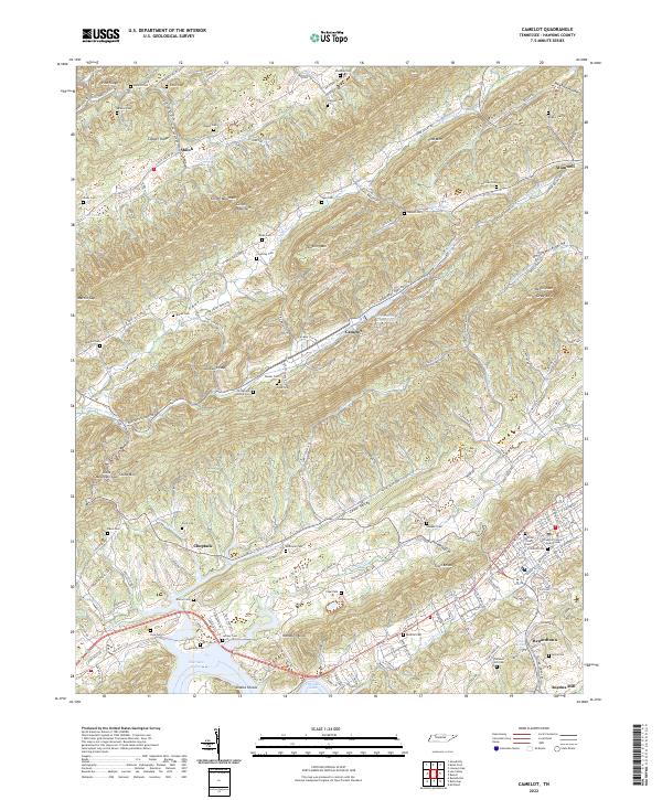
2022 Camelot
Hawkins County, TN
2022 Lee Valley
Hawkins County, TN
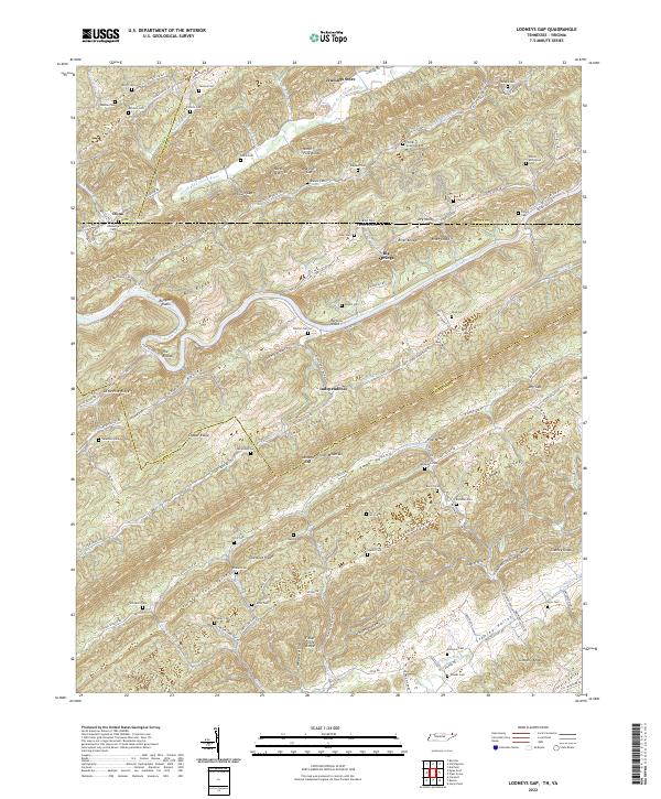
2022 Looneys Gap
Hawkins County, TN
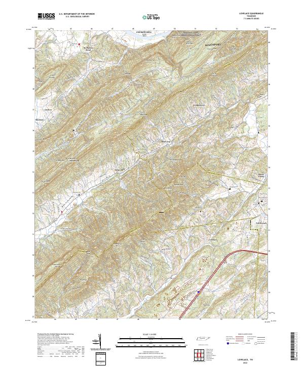
2022 Lovelace
Hawkins County, TN
2022 Plum Grove
Hawkins County, TN
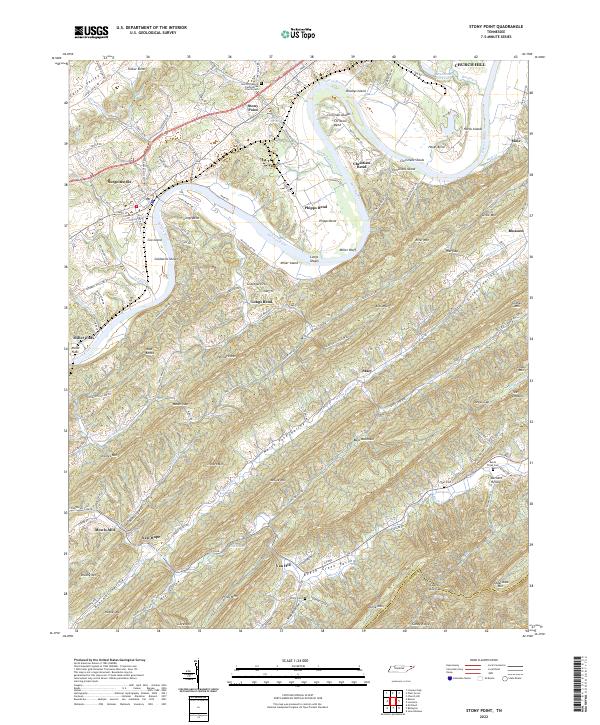
2022 Stony Point
Hawkins County, TN