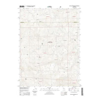
2015 Map of Leech Lake Mountain
USGS Topo · Published 2015About this map
Mendocino National Forest defines the character of this mountainous terrain at the boundary of Trinity and Mendocino counties. The landscape is marked by high-altitude features like Leech Lake Mountain and Castle Peak, with the Middle Fork Eel River and its numerous tributaries, such as Rattlesnake Cr and Hammerhorn Cr, carving through the steep topography. Named clearings and family-identified landmarks like Asa Bean Flat, Foster Glades, and Reeves Place suggest a history of isolated homesteading and livestock grazing in these remote uplands. A network of trails and secondary routes, including the Pillsbury-Indian Dick road, provides the primary access through the ridges and canyons. The presence of specialized locations like Airplane Meadow and Dewell Garden indicates specific historical land uses within the wilderness, while Ham Pass serves as a critical transit point across the southern ridge lines.
Find a feature on this map
53 named features on this map. Tap any name to fly to it.
Don’t see what you’re looking for? This feature index may not catch every label — zoom into the map to look around manually.
Map Details
Editions of this 2015 Leech Lake Mountain Map
This is the sole edition of this map. No revisions or reprints were ever made.
Other maps of this area

1890 · Red Bluff
USGS Topo · 1:250,000

1894 · Red Bluff
USGS Topo · 1:250,000

1926 · Covelo
USGS Topo · 1:62,500

1931 · Hoaglin
USGS Topo · 1:96,000

1935 · Hoaglin
USGS Topo · 1:125,000

1952 · Covelo
USGS Topo · 1:62,500

1952 · Anthony Peak
USGS Topo · 1:62,500

1953 · Blackrock Mtn
USGS Topo · 1:62,500

1954 · Blackrock Mtn
USGS Topo · 1:62,500

1954 · Yolla Bolly
USGS Topo · 1:62,500