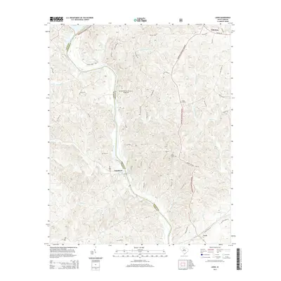
2014 Map of Leeds
USGS Topo · Published 2014About this map
The Broad River carves a winding path through the heart of this terrain, defining the boundary between Union and Chester counties. Much of the surrounding landscape is protected within the Sumter National Forest, a territory characterized by numerous drainage systems such as Brushy Fork Cr and Neals Cr. The small community of Neal Shoals sits near the river's edge, while Leeds and Wilksburg anchor the southern and northern reaches of the sheet respectively.
Find a feature on this map
53 named features on this map. Tap any name to fly to it.
Don’t see what you’re looking for? This feature index may not catch every label — zoom into the map to look around manually.
Map Details
Editions of this 2014 Leeds Map
This is the sole edition of this map. No revisions or reprints were ever made.
Other maps of this area

1907 · Sharon
USGS Topo · 1:62,500

1941 · Spartanburg
USGS Topo · 1:250,000

1953 · Spartanburg
USGS Topo · 1:250,000

1960 · Spartanburg
USGS Topo · 1:250,000

1963 · Spartanburg
USGS Topo · 1:250,000

1964 · Spartanburg
USGS Topo · 1:250,000
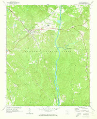
1969 · Carlisle
USGS Topo · 1:24,000

1969 · Kelton
USGS Topo · 1:24,000

1969 · Baton Rouge
USGS Topo · 1:24,000
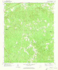
1969 · Carlisle SE
USGS Topo · 1:24,000