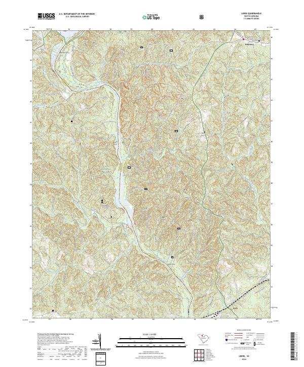
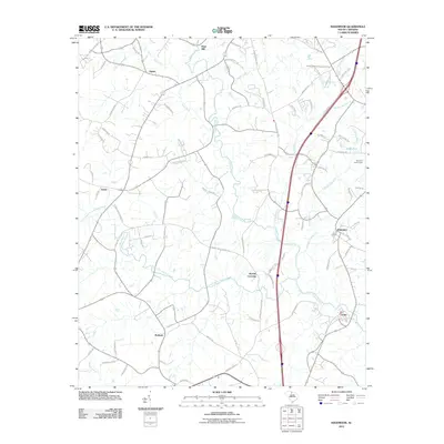
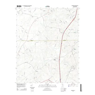
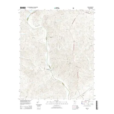
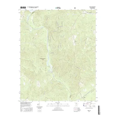
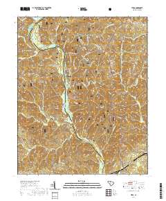
2024 Map of Leeds
USGS Topo · Published 2024About this map
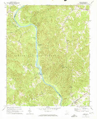
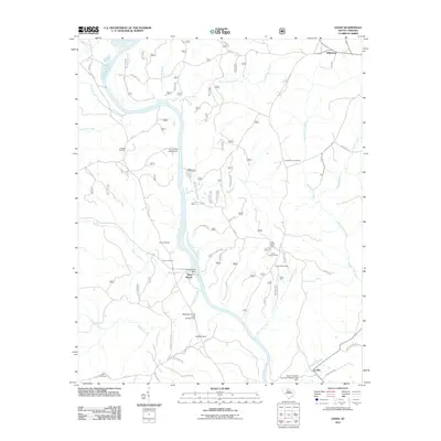
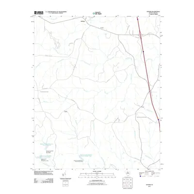
The Broad River serves as the central artery and the defining county boundary between Chester and Union counties in this 2024 topographical record. The landscape is characterized by the vast expanse of the Sumter National Forest, where a network of forest roads and trails, such as the Woods Ferry Horse Trail, weave through the terrain. Evidence of the region's river-dependent history is preserved in the names of several historic river crossings, including Worthys Ferry, Woods Ferry, and Lyles Ferry.
Find a feature on this map
59 named features on this map. Tap any name to fly to it.
Don’t see what you’re looking for? This feature index may not catch every label — zoom into the map to look around manually.
Map Details
Editions of this 2024 Leeds Map
This is the sole edition of this map. No revisions or reprints were ever made.
Historical Maps of Neal Shoals Through Time
42 maps found
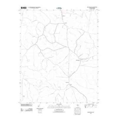
1968 Blackstock
Chester County, SC
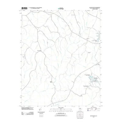
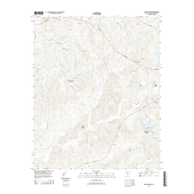
1969 Baton Rouge
Chester County, SC
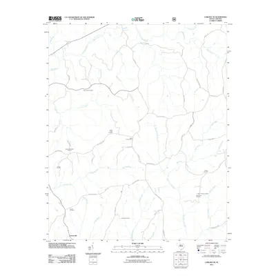
1969 Carlisle SE
Chester County, SC
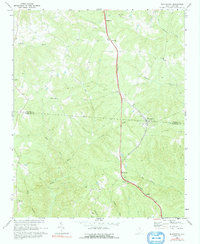
1969 Leeds
Chester County, SC
1969 Stover
Chester County, SC
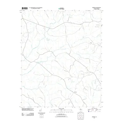
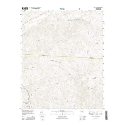
1972 Armenia
Chester County, SC
1982 Edgemoor
Chester County, SC
2011 Armenia
Chester County, SC
2011 Baton Rouge
Chester County, SC
2011 Blackstock
Chester County, SC
2011 Carlisle SE
Chester County, SC
2011 Edgemoor
Chester County, SC
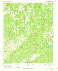
2011 Leeds
Chester County, SC
2011 Stover
Chester County, SC
2014 Armenia
Chester County, SC
2014 Baton Rouge
Chester County, SC
2014 Blackstock
Chester County, SC
2014 Carlisle SE
Chester County, SC
2014 Edgemoor
Chester County, SC
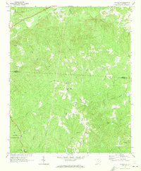
2014 Leeds
Chester County, SC
2014 Stover
Chester County, SC
2017 Armenia
Chester County, SC
2017 Baton Rouge
Chester County, SC
2017 Blackstock
Chester County, SC
2017 Carlisle SE
Chester County, SC
2017 Edgemoor
Chester County, SC
2017 Leeds
Chester County, SC
2017 Stover
Chester County, SC
2020 Armenia
Chester County, SC
2020 Baton Rouge
Chester County, SC
2020 Blackstock
Chester County, SC
2020 Carlisle SE
Chester County, SC
2020 Edgemoor
Chester County, SC
2020 Leeds
Chester County, SC
2020 Stover
Chester County, SC
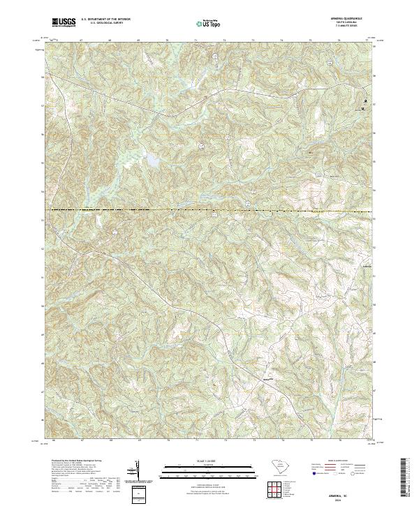
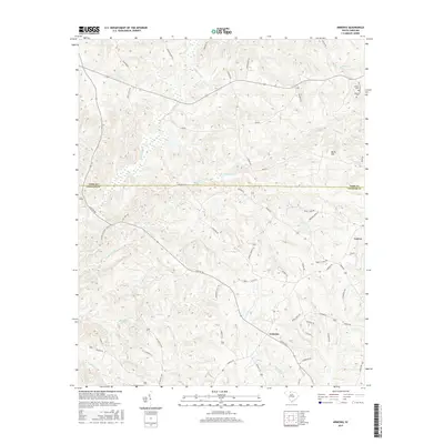
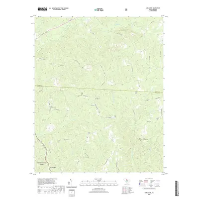
2024 Armenia
Chester County, SC
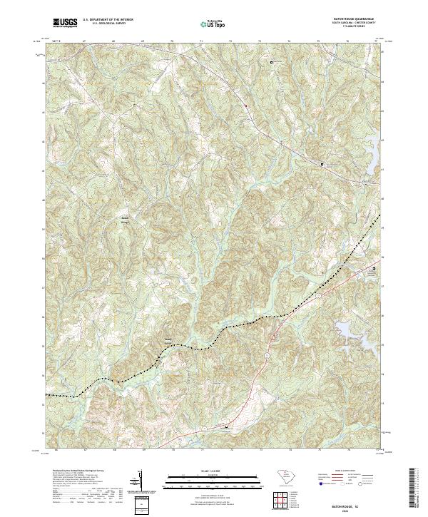
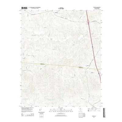
2024 Baton Rouge
Chester County, SC
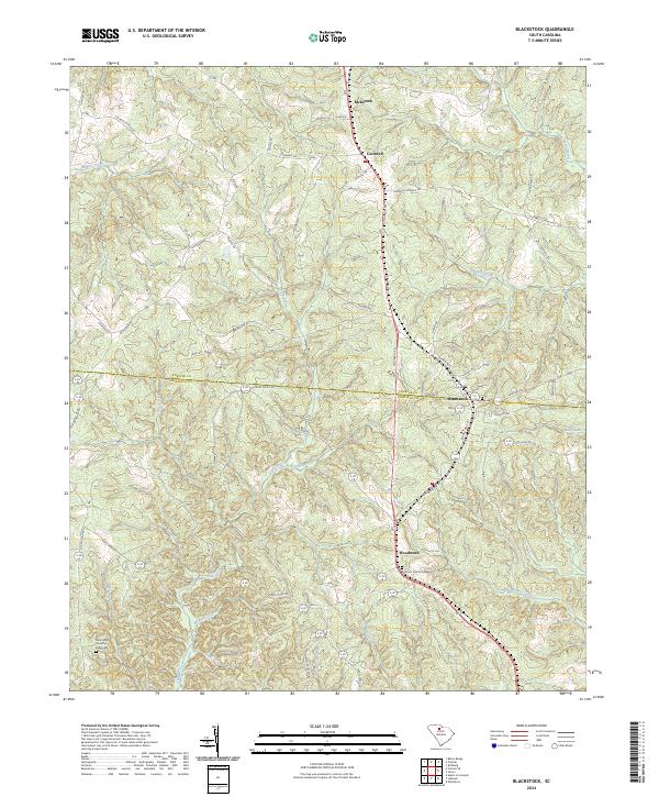
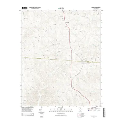
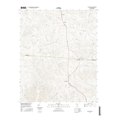
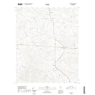
2024 Blackstock
Chester County, SC
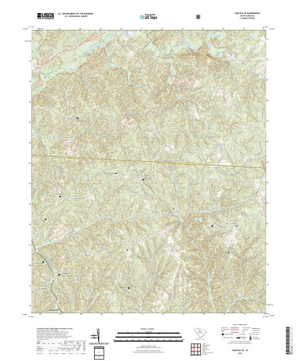
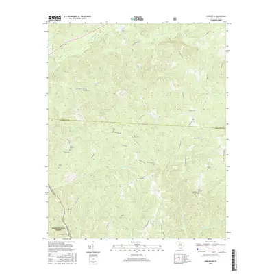
2024 Carlisle SE
Chester County, SC
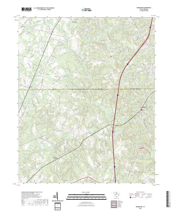
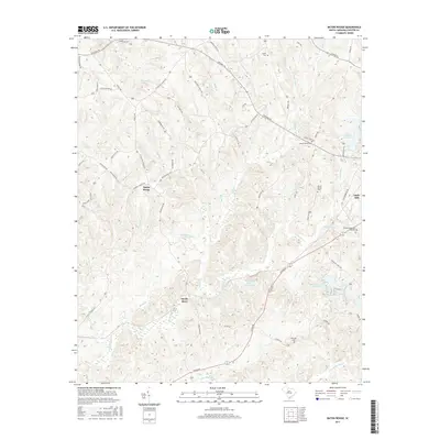
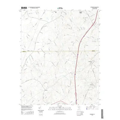
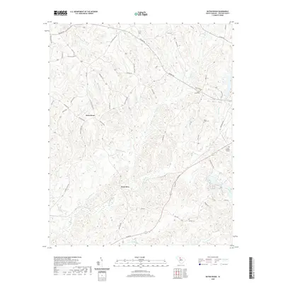
2024 Edgemoor
Chester County, SC
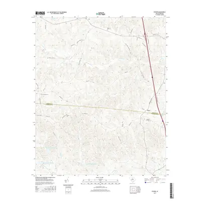
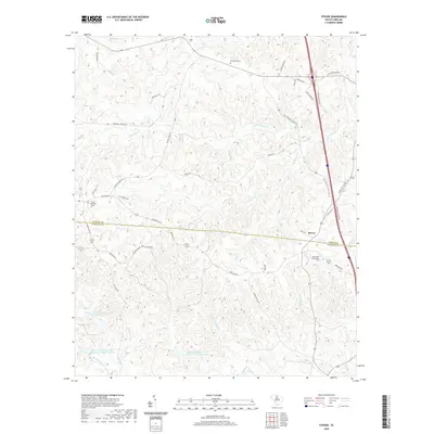
2024 Leeds
Chester County, SC
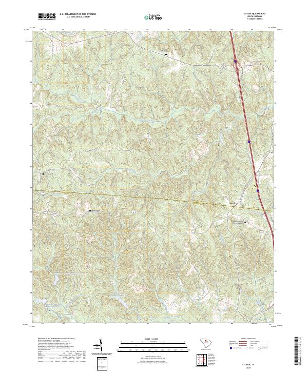
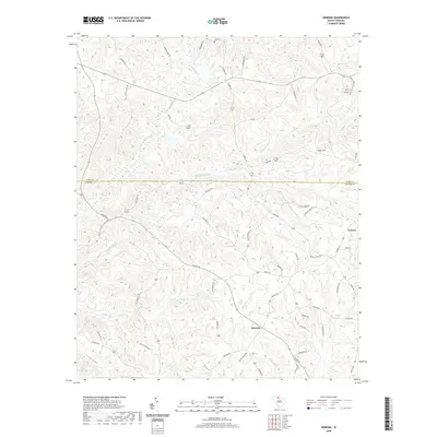
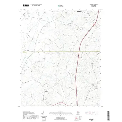
2024 Stover
Chester County, SC