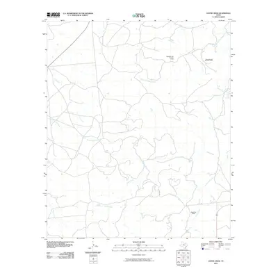
2010 Map of Leeper Creek
USGS Topo · Published 2010About this map
Salt Prong Hubbard Creek and its various tributaries define this section of Shackelford County, where a network of seasonal watercourses and rural roads crisscross the ranch land. The landscape is characterized by its drainage patterns, with Leeper Creek and Jenkins Creek flowing through the southern reaches, while the northern terrain is marked by man-made water management at Vanzandt Lake Number 1 Dam and Vanzandt Lake Number 2 Dam.
Find a feature on this map
10 named features on this map. Tap any name to fly to it.
Don’t see what you’re looking for? This feature index may not catch every label — zoom into the map to look around manually.
Map Details
Editions of this 2010 Leeper Creek Map
This is the sole edition of this map. No revisions or reprints were ever made.
Other maps of this area

1890 · Abilene
USGS Topo · 1:125,000

1891 · Anson
USGS Topo · 1:125,000

1892 · Abilene
USGS Topo · 1:125,000

1892 · Albany
USGS Topo · 1:125,000

1893 · Albany
USGS Topo · 1:125,000

1893 · Anson
USGS Topo · 1:125,000

1931 · Baird
USGS Topo · 1:125,000

1932 · Baird
USGS Topo · 1:125,000

1954 · Abilene
USGS Topo · 1:250,000

1957 · Kirby Lake
USGS Topo · 1:62,500