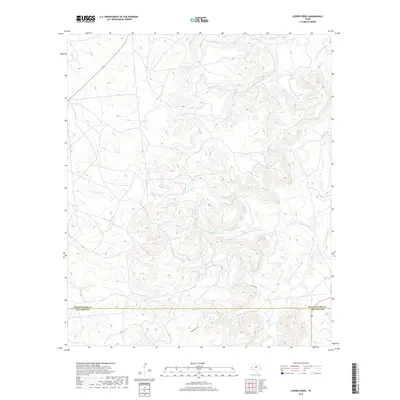
2019 Map of Leeper Creek
USGS Topo · Published 2019About this map
Leeper Creek winds through the dissection of the rolling ranch lands of central Texas as captured in this 2019 survey. The map details the rural interface along the Shackelford and Callahan county line, a landscape defined by an intricate network of seasonal drainages and draws. Notable watercourses including Salt Prong Hubbard Creek and the aptly named Deadman Draw carve through the terrain, illustrating the natural drainage patterns that have long dictated land use and cattle movement in this region. While human infrastructure is sparse, the presence of County Road 190 and a few improved tracks shows the modern connectivity of these sprawling family holdings. This document serves as a high-resolution record of the topography and hydrology between Long Creek and Jenkins Creek at the close of the second decade of the 21st century.
Find a feature on this map
9 named features on this map. Tap any name to fly to it.
Don’t see what you’re looking for? This feature index may not catch every label — zoom into the map to look around manually.
Map Details
Editions of this 2019 Leeper Creek Map
This is the sole edition of this map. No revisions or reprints were ever made.
Other maps of this area

1890 · Abilene
USGS Topo · 1:125,000

1891 · Anson
USGS Topo · 1:125,000

1892 · Abilene
USGS Topo · 1:125,000

1892 · Albany
USGS Topo · 1:125,000

1893 · Albany
USGS Topo · 1:125,000

1893 · Anson
USGS Topo · 1:125,000

1931 · Baird
USGS Topo · 1:125,000

1932 · Baird
USGS Topo · 1:125,000

1954 · Abilene
USGS Topo · 1:250,000

1957 · Kirby Lake
USGS Topo · 1:62,500