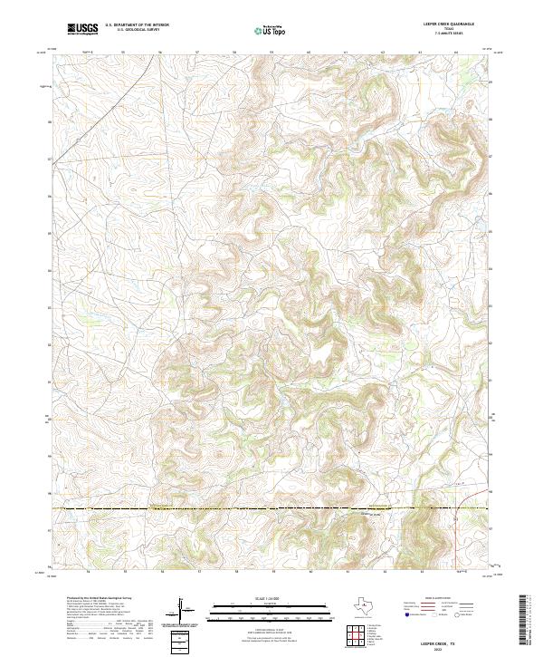
2022 Map of Leeper Creek
USGS Topo · Published 2022About this map
Salt Prong Hubbard Cr and Leeper Cr carve through the dissected terrain of the West Texas rolling plains along the boundary of Shackelford and Callahan counties. This 2022 survey illustrates a sparsely populated ranching landscape where the topography is the primary feature, defined by numerous drainages like Jenkins Cr, Spring Cr, and the appropriately named Deadman Draw.
Find a feature on this map
9 named features on this map. Tap any name to fly to it.
Don’t see what you’re looking for? This feature index may not catch every label — zoom into the map to look around manually.
Map Details
Editions of this 2022 Leeper Creek Map
This is the sole edition of this map. No revisions or reprints were ever made.
Other maps of this area

1890 · Abilene
USGS Topo · 1:125,000

1891 · Anson
USGS Topo · 1:125,000

1892 · Abilene
USGS Topo · 1:125,000

1892 · Albany
USGS Topo · 1:125,000

1893 · Albany
USGS Topo · 1:125,000

1893 · Anson
USGS Topo · 1:125,000

1931 · Baird
USGS Topo · 1:125,000

1932 · Baird
USGS Topo · 1:125,000

1954 · Abilene
USGS Topo · 1:250,000

1957 · Kirby Lake
USGS Topo · 1:62,500