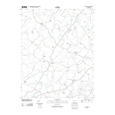
2010 Map of Leesburg
USGS Topo · Published 2010About this map
Oak Hill and Oakland anchor this part of Washington County, a landscape defined by an intricate network of ridges and watercourses. Small settlements and family landmarks are scattered throughout, with the Telford Post Office serving as a primary community hub. The terrain is marked by significant rises like Mitchell Ridge, Guinn Ridge, and Chestnut Ridge, which channel the flow of the Clear Fork, Muddy Fork, and Big Limestone Creek.
Find a feature on this map
137 named features on this map. Tap any name to fly to it.
Don’t see what you’re looking for? This feature index may not catch every label — zoom into the map to look around manually.
Map Details
Editions of this 2010 Leesburg Map
This is the sole edition of this map. No revisions or reprints were ever made.
Other maps of this area

1891 · Roan Mountain
USGS Topo · 1:125,000

1892 · Greeneville
USGS Topo · 1:125,000

1894 · Roan Mountain
USGS Topo · 1:125,000

1896 · Greeneville
USGS Topo · 1:125,000

1904 · Roan Mountain
USGS Topo · 1:125,000

1904 · Greeneville
USGS Topo · 1:125,000

1935 · Lovelace
USGS Topo · 1:24,000

1935 · Sullivan Gardens
USGS Topo · 1:24,000

1935 · Leesburg
USGS Topo · 1:24,000

1935 · Erwin
USGS Topo · 1:24,000