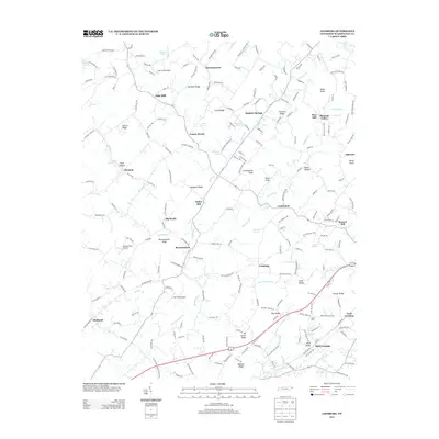
2013 Map of Leesburg
USGS Topo · Published 2013About this map
Leesburg and the surrounding Washington County countryside are defined by a complex network of ridges and watercourses. The landscape is structured by prominent terrain features like Chestnut Ridge, Bowmantown Ridge, and Kit Carson Ridge, which separate the various creek valleys. Settlement patterns follow these natural corridors, with clusters at Sulphur Springs, Bowmantown, and Glendale. The agricultural and industrial heritage of the region is evident in the presence of historic milling sites such as Keys Mill and Taylor Mill, alongside the religious center of Douglas Chapel.
Find a feature on this map
206 named features on this map. Tap any name to fly to it.
Don’t see what you’re looking for? This feature index may not catch every label — zoom into the map to look around manually.
Map Details
Editions of this 2013 Leesburg Map
This is the sole edition of this map. No revisions or reprints were ever made.
Other maps of this area

1891 · Roan Mountain
USGS Topo · 1:125,000

1892 · Greeneville
USGS Topo · 1:125,000

1894 · Roan Mountain
USGS Topo · 1:125,000

1896 · Greeneville
USGS Topo · 1:125,000

1904 · Roan Mountain
USGS Topo · 1:125,000

1904 · Greeneville
USGS Topo · 1:125,000

1935 · Lovelace
USGS Topo · 1:24,000

1935 · Sullivan Gardens
USGS Topo · 1:24,000

1935 · Leesburg
USGS Topo · 1:24,000

1935 · Erwin
USGS Topo · 1:24,000