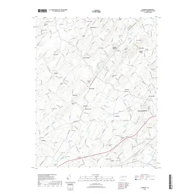
2019 Map of Leesburg
USGS Topo · Published 2019About this map
Jonesborough serves as a historic focal point on this Washington County landscape, where the town's western outskirts meet a complex network of ridges and rural settlements. The terrain is defined by prominent elevations such as Allegheny Ridge and Mitchell Ridge, which shape the drainage patterns of Big Limestone Creek and the Clear Fork. This 2019 survey documents a landscape deeply etched with local history, evidenced by numerous family and community burial grounds including the Bowmantown-Philadelphia Cem, Leesburg Cem, and Oak Hill Cem.
Find a feature on this map
218 named features on this map. Tap any name to fly to it.
Don’t see what you’re looking for? This feature index may not catch every label — zoom into the map to look around manually.
Map Details
Editions of this 2019 Leesburg Map
This is the sole edition of this map. No revisions or reprints were ever made.
Other maps of this area

1891 · Roan Mountain
USGS Topo · 1:125,000

1892 · Greeneville
USGS Topo · 1:125,000

1894 · Roan Mountain
USGS Topo · 1:125,000

1896 · Greeneville
USGS Topo · 1:125,000

1904 · Roan Mountain
USGS Topo · 1:125,000

1904 · Greeneville
USGS Topo · 1:125,000

1935 · Lovelace
USGS Topo · 1:24,000

1935 · Sullivan Gardens
USGS Topo · 1:24,000

1935 · Leesburg
USGS Topo · 1:24,000

1935 · Erwin
USGS Topo · 1:24,000