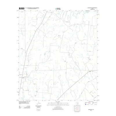
2013 Map of Leesville
USGS Topo · Published 2013About this map
The farming and ranching landscape of western Gonzales County is defined by the branching tributaries of the Guadalupe River as they flow through a network of family holdings and small rural hubs. Leesville and Bebe anchor the local road system, connected by several Farm to Market roads that stitch together the vast cattle country. The area's genealogical history is remarkably well-preserved through a high density of small family and community burial grounds, such as the Ellis Nance Cem, Stroman Cem, and Antioch Cem. These sites, often situated near seasonal creeks like Yow Br or O'Neal Cr, mark the long-standing settlement patterns of the Texas coastal plains. To the north, the waters of Lake Gonzales and the river's main channel create a distinctive riparian boundary, while man-made features like Lake Pruett support local agricultural needs.
Find a feature on this map
53 named features on this map. Tap any name to fly to it.
Don’t see what you’re looking for? This feature index may not catch every label — zoom into the map to look around manually.
Map Details
Editions of this 2013 Leesville Map
This is the sole edition of this map. No revisions or reprints were ever made.
Other maps of this area

1911 · San Marcos
USGS Topo · 1:125,000

1919 · San Marcos
USGS Topo · 1:125,000

1920 · Smiley
USGS Topo · 1:125,000

1924 · San Marcos 3-d
USGS Topo · 1:48,000

1925 · San Marcos 4-c
USGS Topo · 1:48,000

1929 · Luling
USGS Topo · 1:62,500

1930 · Seguin
USGS Topo · 1:62,500

1942 · Dewville
USGS Topo · 1:62,500

1953 · Seguin
USGS Topo · 1:250,000

1956 · Dewville
USGS Topo · 1:62,500