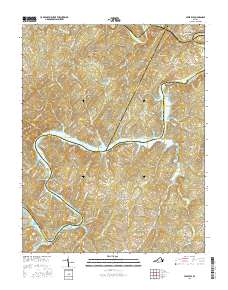
2016 Map of Leesville
USGS Topo · Published 2016About this map
Leesville Reservoir and the winding Roanoke River dominate this landscape at the intersection of Bedford, Campbell, and Pittsylvania counties. The settlement of Leesville sits at the northern edge, where Goose Creek meets the river, while smaller communities like Browntown and Brights occupy the high ground between complex drainage systems. The terrain is defined by prominent peaks including King George Mtn, Stone Road Mtn, and Jasper Mtn, which overlook a network of creeks such as Old Womans Cr and Muddy Run. Local genealogy is anchored by features like Stone Road Cem and long-established crossings and neighborhoods like Coles Quarter. The map illustrates a contemporary rural landscape where historic land names persist alongside newer developments like those found near Swine Lake and the various points along the reservoir shoreline.
Find a feature on this map
124 named features on this map. Tap any name to fly to it.
Don’t see what you’re looking for? This feature index may not catch every label — zoom into the map to look around manually.
Map Details
Editions of this 2016 Leesville Map
This is the sole edition of this map. No revisions or reprints were ever made.
Other maps of this area

1890 · Roanoke
USGS Topo · 1:125,000

1891 · Roanoke
USGS Topo · 1:125,000

1892 · Lynchburg
USGS Topo · 1:125,000

1921 · Chatham
USGS Topo · 1:48,000

1922 · Callands
USGS Topo · 1:48,000

1923 · Chatham
USGS Topo · 1:62,500

1924 · Callands
USGS Topo · 1:62,500

1944 · Callands
USGS Topo · 1:62,500

1947 · Roanoke
USGS Topo · 1:250,000

1951 · Moneta
USGS Topo · 1:62,500