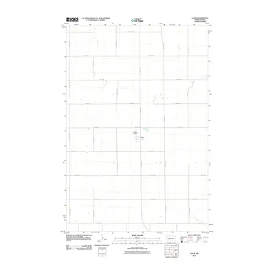
2011 Map of Lefor
USGS Topo · Published 2011About this map
Lefor serves as the central hub of this rural Stark County landscape, established amidst a grid of section-line roads such as 50th St SW and 100th Ave SW. The map documents the spatial organization of this prairie community, where the Saint Elizabeth Cemetery stands just north of the primary settlement cluster. The drainage of Jimmy Creek meanders through the western portion of the quadrangle, providing a natural break in the otherwise systematic agricultural layout of the High Plains. This 2011 edition provides a clear record of the area's rural infrastructure, including the specific numbering of the county road system from 46th St SW down to 54th St SW.
Find a feature on this map
19 named features on this map. Tap any name to fly to it.
Don’t see what you’re looking for? This feature index may not catch every label — zoom into the map to look around manually.
Map Details
Editions of this 2011 Lefor Map
This is the sole edition of this map. No revisions or reprints were ever made.
Other maps of this area

1953 · Dickinson
USGS Topo · 1:250,000

1957 · Dickinson
USGS Topo · 1:250,000

1959 · Lehigh
USGS Topo · 1:24,000

1960 · White Butte West
USGS Topo · 1:24,000

1960 · White Butte NW
USGS Topo · 1:24,000

1973 · Bratburg Butte
USGS Topo · 1:24,000

1973 · Lefor NW
USGS Topo · 1:24,000

1973 · Lefor
USGS Topo · 1:24,000

1973 · Gladstone
USGS Topo · 1:24,000

1973 · Lefor SW
USGS Topo · 1:24,000