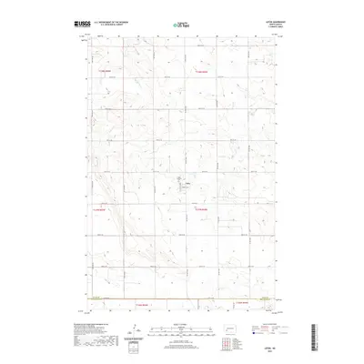
2020 Map of Lefor
USGS Topo · Published 2020About this map
Lefor serves as the primary focal point of this rural prairie landscape, situated near the headwaters of Jimmy Cr. This agricultural community is anchored by the Saint Elizabeth Cem, reflecting the deep-rooted local history and genealogical significance of the area. The map illustrates a meticulously organized grid of section lines and gravel roads, including 100th Ave SW and 51st St SW, which define the township and range system typical of the North Dakota plains. Near the southern edge of the survey, the boundary between Stark Co and Hettinger Co is clearly demarcated along 54th St SW, marking the transition between these two rural counties. The terrain is characterized by the subtle drainage patterns of the Jimmy Cr basin, providing insight into the water management and land use patterns of this High Plains region.
Find a feature on this map
28 named features on this map. Tap any name to fly to it.
Don’t see what you’re looking for? This feature index may not catch every label — zoom into the map to look around manually.
Map Details
Editions of this 2020 Lefor Map
This is the sole edition of this map. No revisions or reprints were ever made.
Other maps of this area

1953 · Dickinson
USGS Topo · 1:250,000

1957 · Dickinson
USGS Topo · 1:250,000

1959 · Lehigh
USGS Topo · 1:24,000

1960 · White Butte West
USGS Topo · 1:24,000

1960 · White Butte NW
USGS Topo · 1:24,000

1973 · Bratburg Butte
USGS Topo · 1:24,000

1973 · Lefor NW
USGS Topo · 1:24,000

1973 · Lefor
USGS Topo · 1:24,000

1973 · Gladstone
USGS Topo · 1:24,000

1973 · Lefor SW
USGS Topo · 1:24,000