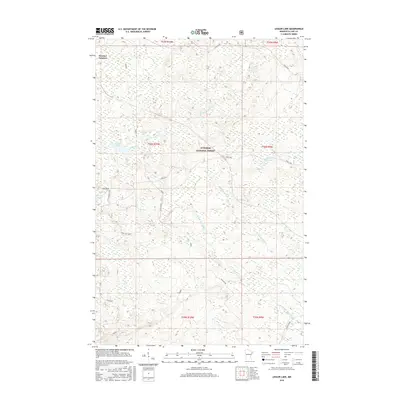
2016 Map of Legler Lake
USGS Topo · Published 2016About this map
Superior National Forest dominates this northern Minnesota landscape, where the headwaters of several significant North Shore tributaries begin their descent toward Lake Superior. The drainage network is particularly dense here, defined by the winding paths of the Gooseberry River, the Langley River, and the Split Rock River. This 2016 survey illustrates a wilderness area structured by historic logging and forestry infrastructure, most notably at Norshor Junction. Several small, secluded water bodies are scattered across the terrain, including Legler Lake, Langley Lake, and the uniquely named Water Tank Lake. A network of forest roads and grades, such as N Alger Grade and Toimi Road, provides the primary access through the dense timber of Silver Creek Township. These routes often follow the high ground between the marshy basins of the W Split Rock River and its various branches.
Find a feature on this map
24 named features on this map. Tap any name to fly to it.
Don’t see what you’re looking for? This feature index may not catch every label — zoom into the map to look around manually.
Map Details
Editions of this 2016 Legler Lake Map
This is the sole edition of this map. No revisions or reprints were ever made.
Other maps of this area

1953 · Whyte
USGS Topo · 1:62,500

1954 · Silver Bay
USGS Topo · 1:62,500

1954 · Two Harbors
USGS Topo · 1:250,000

1956 · Split Rock Point
USGS Topo · 1:24,000

1956 · Split Rock Point
USGS Topo · 1:62,500

1957 · Two Harbors
USGS Topo · 1:250,000

1957 · Two Harbors
USGS Topo · 1:62,500

1957 · Two Harbors NE
USGS Topo · 1:24,000

1958 · Two Harbors
USGS Topo · 1:250,000

1964 · Two Harbors
USGS Topo · 1:250,000