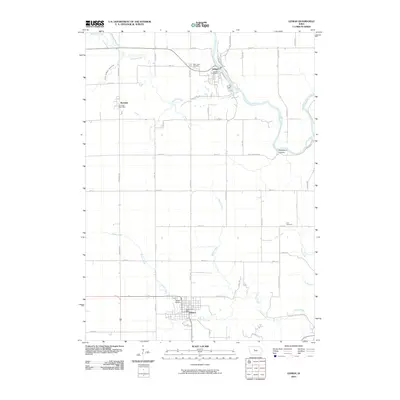
2010 Map of Lehigh
USGS Topo · Published 2010About this map
Lehigh and Dayton serve as the primary hubs in this agricultural section of Webster County, where the landscape is defined by the winding course of the Des Moines River. The topography transitions from the high, flat plains around Burnside down into the river valley, most notably at the distinctive landform of Deception Hollow. This 2010 survey reflects a rural infrastructure built on a grid of gravel roads like Paragon Ave and Racine Ave, which connect isolated farmsteads to the central post offices and community cemeteries.
Find a feature on this map
42 named features on this map. Tap any name to fly to it.
Don’t see what you’re looking for? This feature index may not catch every label — zoom into the map to look around manually.
Map Details
Editions of this 2010 Lehigh Map
This is the sole edition of this map. No revisions or reprints were ever made.
Other maps of this area

1916 · Boone
USGS Topo · 1:62,500

1923 · Lehigh
USGS Topo · 1:62,500

1951 · Ogden
USGS Topo · 1:62,500

1954 · Waterloo
USGS Topo · 1:250,000

1954 · Fort Dodge
USGS Topo · 1:250,000

1955 · Waterloo
USGS Topo · 1:250,000

1957 · Fort Dodge
USGS Topo · 1:250,000

1958 · Fort Dodge
USGS Topo · 1:250,000

1965 · Fraser
USGS Topo · 1:24,000

1965 · Fort Dodge South
USGS Topo · 1:24,000