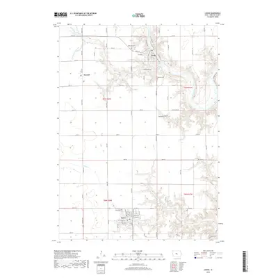
2018 Map of Lehigh
USGS Topo · Published 2018About this map
The Des Moines River carves a deep valley through the center of this southern Webster County landscape, where the town of Lehigh sits at a prominent bend. The river’s winding course is flanked by complex drainage networks, including Crooked Cr and the notable Deception Hollow. To the south, the grid of Iowa farmland gives way to the street plan of Dayton, while the small settlement of Burnside occupies the western plateau.
Find a feature on this map
70 named features on this map. Tap any name to fly to it.
Don’t see what you’re looking for? This feature index may not catch every label — zoom into the map to look around manually.
Map Details
Editions of this 2018 Lehigh Map
This is the sole edition of this map. No revisions or reprints were ever made.
Other maps of this area

1916 · Boone
USGS Topo · 1:62,500

1923 · Lehigh
USGS Topo · 1:62,500

1951 · Ogden
USGS Topo · 1:62,500

1954 · Waterloo
USGS Topo · 1:250,000

1954 · Fort Dodge
USGS Topo · 1:250,000

1955 · Waterloo
USGS Topo · 1:250,000

1957 · Fort Dodge
USGS Topo · 1:250,000

1958 · Fort Dodge
USGS Topo · 1:250,000

1965 · Fraser
USGS Topo · 1:24,000

1965 · Fort Dodge South
USGS Topo · 1:24,000