2023 Map of Lehighton
USGS Topo · Published 2023About this map
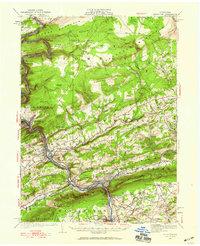
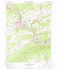
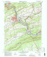
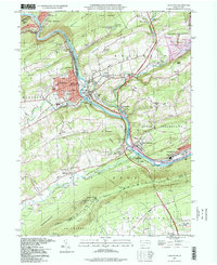
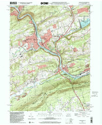
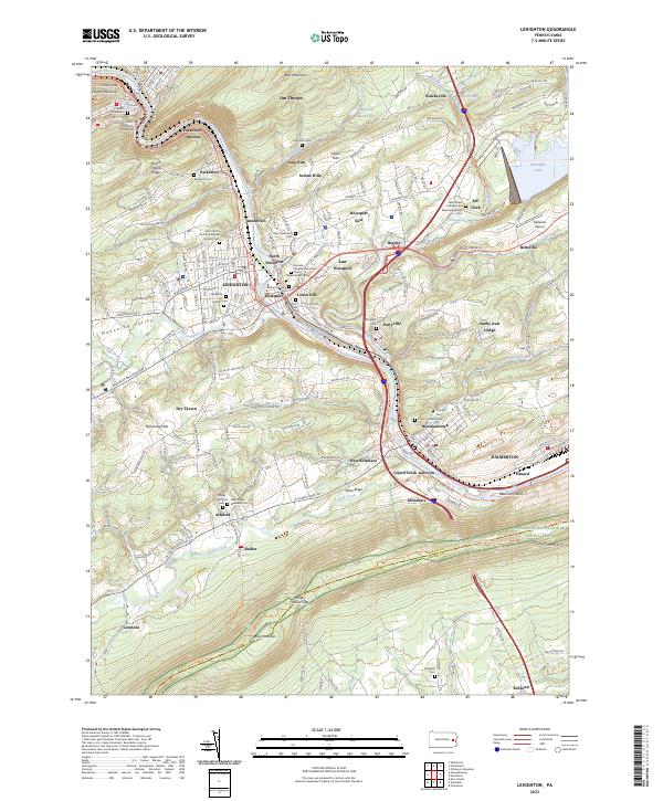
Lehighton and Palmerton anchor this survey of the Lehigh River corridor, where industrial history meets the ridge-and-valley topography of Carbon County. The river serves as a central axis, flanked by the Carbon County Railroad and the D & L Trl, tracing a path between the steep slopes of Mauch Chunk Ridge and Blue Mountain. The map details the dense settlement patterns of the river towns, from the historic Carbon County Courthouse in Jim Thorpe to the residential clusters of Weissport and Bowmanstown. Higher elevations are marked by the Appalachian National Scenic Trail as it crosses Lehigh Furnace Gap, while the eastern portion of the sheet is dominated by the waters of Beltzville Lake. Notable local landmarks include numerous cemeteries such as Lehighton Cem and Packerton Cem, providing a detailed record for genealogical research in this long-established coal and rail region.
Find a feature on this map
73 named features on this map. Tap any name to fly to it.
Don’t see what you’re looking for? This feature index may not catch every label — zoom into the map to look around manually.
Map Details
Editions of this 2023 Lehighton Map
This is the sole edition of this map. No revisions or reprints were ever made.
Historical Maps of Parryville Through Time
6 maps found