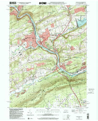
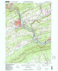
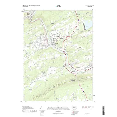
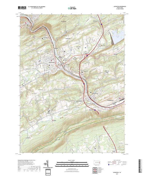
1999 Map of Lehighton
USGS Topo · Published 2001About this map
The Lehigh River carves a deep path through Carbon County, anchoring a corridor of industrial and transportation history that connects Jim Thorpe to Palmerton. This 1999 survey documents the late-century landscape where the Lehigh Valley RR and Conrail tracks parallel the water, serving established boroughs like Lehighton and Weissport. The topography is defined by significant ridges, including Mauch Chunk Ridge and the formidable Kittatinny Mountain to the south, which marks the boundary near State Game Lands No 217. Northeast of the river valley, the creation of Beltzville Lake and its surrounding Beltzville State Park transformed the drainage of Pohopoco Creek into a major recreational hub. Local genealogy is well-represented through markers such as Union Hill Cem, St Matthews Ch, and the small settlement of Ashfield.
Find a feature on this map
51 named features on this map. Tap any name to fly to it.
Don’t see what you’re looking for? This feature index may not catch every label — zoom into the map to look around manually.
Map Details
Editions of this 1999 Lehighton Map
This is the sole edition of this map. No revisions or reprints were ever made.
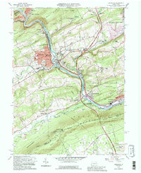
Historical Maps of Lehighton Through Time
10 maps found
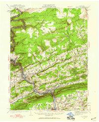
1922 Lehighton
Carbon County, PA
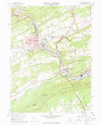
1960 Lehighton
Carbon County, PA
1992 Lehighton
Carbon County, PA
1997 Lehighton
Carbon County, PA
1999 Lehighton
Carbon County, PA
2010 Lehighton
Carbon County, PA
2013 Lehighton
Carbon County, PA
2016 Lehighton
Carbon County, PA
2019 Lehighton
Carbon County, PA
2023 Lehighton
Carbon County, PA