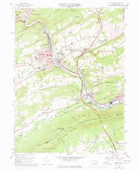
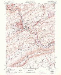
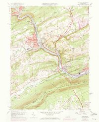
1960 Map of Lehighton
USGS Topo · Published 1977About this map
Industrial and transportation networks converge along the Lehigh River in this detailed survey of Carbon County. The borough of Lehighton serves as a primary hub, showing a dense grid of streets, multiple schools like the First Ward School, and the Lehighton Airport. The river valley is a corridor for major infrastructure, including the Central RR of New Jersey and the Lehigh Valley RR, which pass through Packerton and Weissport.
Find a feature on this map
92 named features on this map. Tap any name to fly to it.
Don’t see what you’re looking for? This feature index may not catch every label — zoom into the map to look around manually.
Map Details
Editions of this 1960 Lehighton Map
6 editions found
Other maps of this area

1889 · Hazleton
USGS Topo · 1:62,500

1891 · Hazleton
USGS Topo · 1:62,500

1893 · Hazleton
USGS Topo · 1:62,500

1902 · Slatington
USGS Topo · 1:62,500

1909 · Hamburg
USGS Topo · 1:62,500

1911 · Hamburg
USGS Topo · 1:62,500

1922 · Mauch Chunk
USGS Topo · 1:62,500

1924 · Mauch Chunk
USGS Topo · 1:62,500

1937 · Allentown West
USGS Topo · 1:48,000

1942 · Allentown West
USGS Topo · 1:62,500