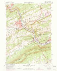
1960 Map of Lehighton
USGS Topo · Published 1972About this map
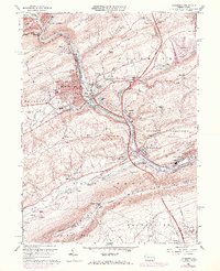
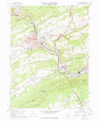
Lehighton and Jim Thorpe dominate this 1960s study of the Lehigh Valley, where the Lehigh River carves a path through the Indian Hills and Mauch Chunk Ridge. The landscape is a corridor of heavy transit and industry, defined by the parallel tracks of the Central RR of New Jersey and the Lehigh Valley RR. This era of the map captures a significant environmental change: the area destined for the Beltzville Lake reservoir is clearly delineated, showing the planned inundation of the Pohopoco Creek valley.
Find a feature on this map
72 named features on this map. Tap any name to fly to it.
Don’t see what you’re looking for? This feature index may not catch every label — zoom into the map to look around manually.
Map Details
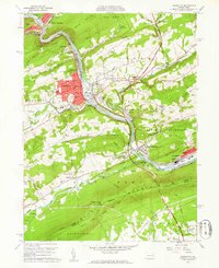
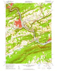
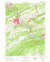
Editions of this 1960 Lehighton Map
6 editions found
Other maps of this area

1889 · Hazleton
USGS Topo · 1:62,500

1891 · Hazleton
USGS Topo · 1:62,500

1893 · Hazleton
USGS Topo · 1:62,500

1902 · Slatington
USGS Topo · 1:62,500

1909 · Hamburg
USGS Topo · 1:62,500

1911 · Hamburg
USGS Topo · 1:62,500

1922 · Mauch Chunk
USGS Topo · 1:62,500

1924 · Mauch Chunk
USGS Topo · 1:62,500

1937 · Allentown West
USGS Topo · 1:48,000

1942 · Allentown West
USGS Topo · 1:62,500