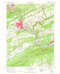
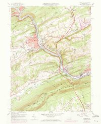
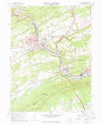
1960 Map of Lehighton
USGS Topo · Published 1967About this map
The Lehigh River carves a deep path through the industrial and natural landscape of Carbon County, anchoring a corridor defined by heavy rail and early river infrastructure. The twin settlements of Lehighton and Weissport sit at a vital bend in the river, where the Central RR of New Jersey and the Lehigh Valley RR converge. This 1960 survey illustrates the region's complex transit history, showing the New England Valley Canal running parallel to the water near Bowmanstown and the Pennsylvania Turnpike cutting across the Indian Hills. The map captures a moment when traditional landmarks like the Dinkey Memorial Ch and Lehigh Furnace Gap remained prominent features for local families, even as modern infrastructure like the Lehighton Airport and the Appalachian Trail along Blue Mountain began to reshape the area's identity.
Find a feature on this map
95 named features on this map. Tap any name to fly to it.
Don’t see what you’re looking for? This feature index may not catch every label — zoom into the map to look around manually.
Map Details
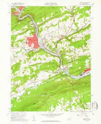
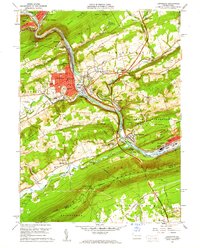
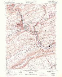
Editions of this 1960 Lehighton Map
6 editions found
Other maps of this area

1889 · Hazleton
USGS Topo · 1:62,500

1891 · Hazleton
USGS Topo · 1:62,500

1893 · Hazleton
USGS Topo · 1:62,500

1902 · Slatington
USGS Topo · 1:62,500

1909 · Hamburg
USGS Topo · 1:62,500

1911 · Hamburg
USGS Topo · 1:62,500

1922 · Mauch Chunk
USGS Topo · 1:62,500

1924 · Mauch Chunk
USGS Topo · 1:62,500

1937 · Allentown West
USGS Topo · 1:48,000

1942 · Allentown West
USGS Topo · 1:62,500