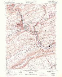
1960 Map of Lehighton
USGS Topo · Published 1972About this map
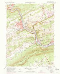
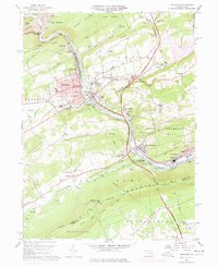
The Lehigh River carves a deep valley through this industrial and transport corridor, separating the Indian Hills from the steep Mauch Chunk Ridge. This 1970 revision shows the landscape in transition, most notably with the planned inundation of the Pohopoco Creek valley to form Beltzville Lake. Purple hatching on the sheet indicates the vast area designated for submergence behind the Beltzville Dam, a change that would fundamentally alter the character of the Pohopoco Valley and the settlement of Beltzville.
Find a feature on this map
109 named features on this map. Tap any name to fly to it.
Don’t see what you’re looking for? This feature index may not catch every label — zoom into the map to look around manually.
Map Details
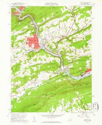
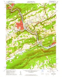
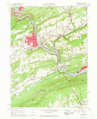
Editions of this 1960 Lehighton Map
6 editions found
Other maps of this area

1889 · Hazleton
USGS Topo · 1:62,500

1891 · Hazleton
USGS Topo · 1:62,500

1893 · Hazleton
USGS Topo · 1:62,500

1902 · Slatington
USGS Topo · 1:62,500

1909 · Hamburg
USGS Topo · 1:62,500

1911 · Hamburg
USGS Topo · 1:62,500

1922 · Mauch Chunk
USGS Topo · 1:62,500

1924 · Mauch Chunk
USGS Topo · 1:62,500

1937 · Allentown West
USGS Topo · 1:48,000

1942 · Allentown West
USGS Topo · 1:62,500