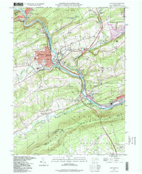
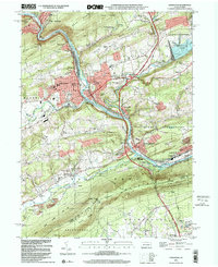
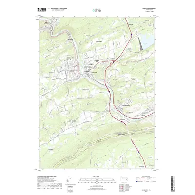
1997 Map of Lehighton
USGS Topo · Published 1998About this map
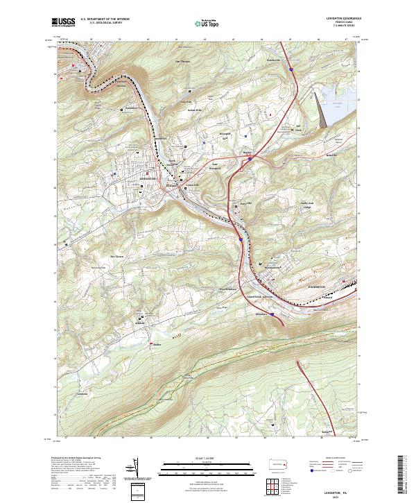
The Lehigh River carves a deep path through the Carbon County landscape, serving as a corridor for the Lehigh Valley RR and Conrail lines that define the industrial heritage of the valley. Centered on Lehighton and Weissport, the map reveals a dense network of river-bottom settlements including Packerton, Jamestown, and Bowmanstown. The geography is constrained by the steep rise of Bear Mountain and the Mahoning Hills, forcing transportation routes like the Pennsylvania Turnpike to follow the narrow valley floors.
Find a feature on this map
73 named features on this map. Tap any name to fly to it.
Don’t see what you’re looking for? This feature index may not catch every label — zoom into the map to look around manually.
Map Details
Editions of this 1997 Lehighton Map
This is the sole edition of this map. No revisions or reprints were ever made.
Historical Maps of Lehighton Through Time
10 maps found
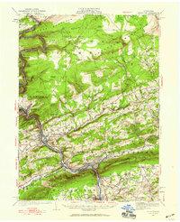
1922 Lehighton
Carbon County, PA
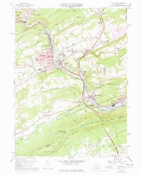
1960 Lehighton
Carbon County, PA
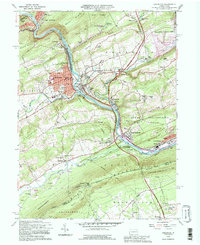
1992 Lehighton
Carbon County, PA
1997 Lehighton
Carbon County, PA
1999 Lehighton
Carbon County, PA
2010 Lehighton
Carbon County, PA
2013 Lehighton
Carbon County, PA
2016 Lehighton
Carbon County, PA
2019 Lehighton
Carbon County, PA
2023 Lehighton
Carbon County, PA