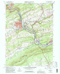
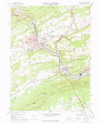
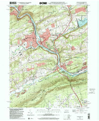
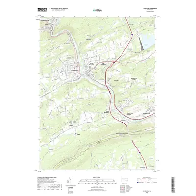
1992 Map of Lehighton
USGS Topo · Published 1995About this map
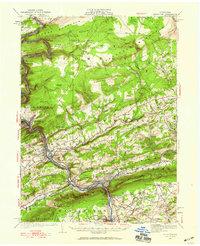
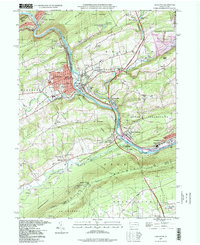
The Lehigh River cuts a deep industrial and transportation corridor through the Carbon and Lehigh county line, serving as the focal point for the borough of Lehighton. This landscape is defined by its transit history, featuring the massive Packerton Yards and the Pennsylvania Turnpike Toll Road winding through the Indian Hills. In the north, the creation of Beltzville Lake and the surrounding Beltzville State Park transformed the valley of Pohopoco Creek, while the southern reaches are dominated by the sharp ridgeline of Blue Mountain, where the Appalachian Trail follows the boundary of State Game Lands No 217. Smaller rural settlements like Ashfield and Balliet sit nestled along Lizard Creek, preserving a map of early family-named landmarks and local cemeteries such as Huetten Cem and New Dinkey Memorial Cem.
Find a feature on this map
84 named features on this map. Tap any name to fly to it.
Don’t see what you’re looking for? This feature index may not catch every label — zoom into the map to look around manually.
Map Details
Editions of this 1992 Lehighton Map
This is the sole edition of this map. No revisions or reprints were ever made.
Historical Maps of Lehighton Through Time
10 maps found
1922 Lehighton
Carbon County, PA
1960 Lehighton
Carbon County, PA
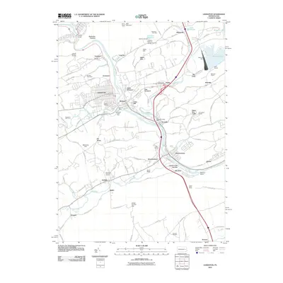
1992 Lehighton
Carbon County, PA
1997 Lehighton
Carbon County, PA
1999 Lehighton
Carbon County, PA
2010 Lehighton
Carbon County, PA
2013 Lehighton
Carbon County, PA
2016 Lehighton
Carbon County, PA
2019 Lehighton
Carbon County, PA
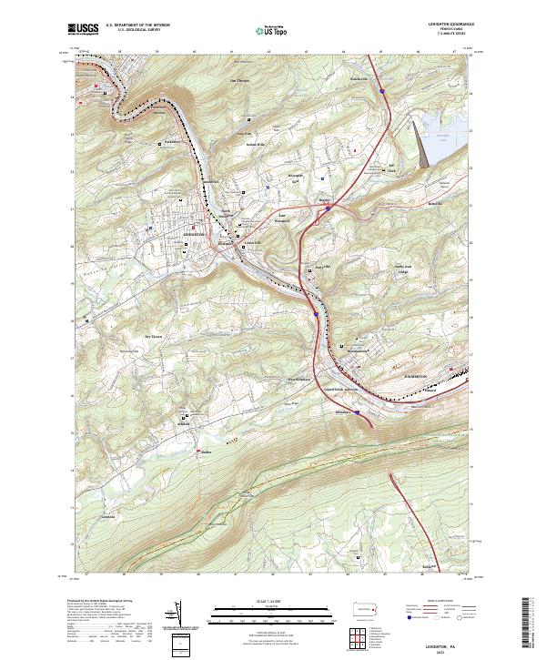
2023 Lehighton
Carbon County, PA