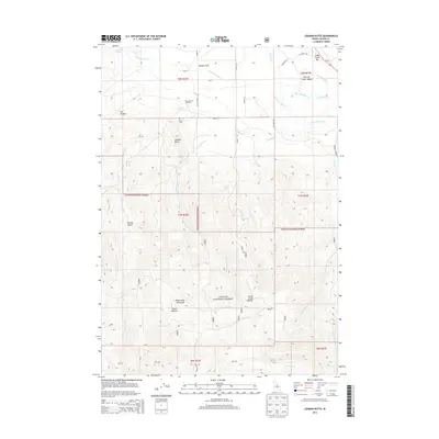
2013 Map of Lehman Butte
USGS Topo · Published 2013About this map
White Knob Mountains dominate the southern portion of this landscape within the Challis National Forest. To the north, the terrain gives way to the Big Lost River Valley, where the hydrological significance of the area is evident through features like Warm Springs Cr and the Mackay Fish Hatchery. The map documents a blend of high-elevation peaks and agricultural or resource-focused land use, anchored by the presence of the Barton Cem near the intersection of Fish Hatchery Rd and Burma Rd.
Find a feature on this map
47 named features on this map. Tap any name to fly to it.
Don’t see what you’re looking for? This feature index may not catch every label — zoom into the map to look around manually.
Map Details
Editions of this 2013 Lehman Butte Map
This is the sole edition of this map. No revisions or reprints were ever made.
Other maps of this area

1935 · MacKay
USGS Topo · 1:96,000

1935 · Borah Peak
USGS Topo · 1:125,000

1938 · Borah Peak
USGS Topo · 1:125,000

1940 · Mackay
USGS Topo · 1:62,500

1955 · Dubois
USGS Topo · 1:250,000

1955 · Idaho Falls
USGS Topo · 1:250,000

1958 · Dubois
USGS Topo · 1:250,000

1958 · Idaho Falls
USGS Topo · 1:250,000

1960 · Mackay
USGS Topo · 1:62,500

1960 · Copper Basin
USGS Topo · 1:62,500