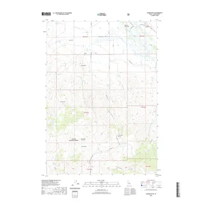
2020 Map of Lehman Butte
USGS Topo · Published 2020About this map
Barton Flat Cem sits on a high bench overlooking the northern edge of this high-altitude landscape, where the Big Lost River Valley meets the rising slopes of the White Knob Mountains. This 2020 topographic map reveals a transition from the agricultural and ranching bottomlands of the Big Lost River to the timbered reaches of the Challis National Forest. Distinctive landmarks like Lehman Butte and the high drainage of Lehman Basin indicate the complex verticality of the terrain. The presence of Cedar Creek Bar and Barton Flats suggests a long history of water management and livestock grazing. Local access is defined by a network of rural routes including Fish Hatchery Rd and the high-elevation Burma Road, which climbs toward the Corral Creek Summit.
Find a feature on this map
50 named features on this map. Tap any name to fly to it.
Don’t see what you’re looking for? This feature index may not catch every label — zoom into the map to look around manually.
Map Details
Editions of this 2020 Lehman Butte Map
This is the sole edition of this map. No revisions or reprints were ever made.
Other maps of this area

1935 · MacKay
USGS Topo · 1:96,000

1935 · Borah Peak
USGS Topo · 1:125,000

1938 · Borah Peak
USGS Topo · 1:125,000

1940 · Mackay
USGS Topo · 1:62,500

1955 · Dubois
USGS Topo · 1:250,000

1955 · Idaho Falls
USGS Topo · 1:250,000

1958 · Dubois
USGS Topo · 1:250,000

1958 · Idaho Falls
USGS Topo · 1:250,000

1960 · Mackay
USGS Topo · 1:62,500

1960 · Copper Basin
USGS Topo · 1:62,500