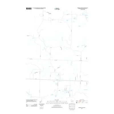
2013 Map of Lehman Lake
USGS Topo · Published 2013About this map
The Wausaukee River and its numerous tributaries and lakes define this pocket of Marinette County, characterized by a dense network of water bodies and rural forest roads. In the northern reaches, the Girard Junction Lookout Tower stands as a notable landmark near Firetower Rd, overlooking the headwaters of Rosey Cr and the waters of Lehman Lake. The area's hydrology is complex, with Eagle Cr and Meadow Brook threading through the terrain, connecting smaller basins like Heart Lake and Deer Lake. This landscape, documented in the early 21st century, reflects a region deeply tied to its natural resources, with access provided by a mix of forest routes such as Tower Rd and Camp 10 Rd, and local thoroughfares like Co Hwy-C.
Find a feature on this map
47 named features on this map. Tap any name to fly to it.
Don’t see what you’re looking for? This feature index may not catch every label — zoom into the map to look around manually.
Map Details
Editions of this 2013 Lehman Lake Map
This is the sole edition of this map. No revisions or reprints were ever made.
Other maps of this area

1939 · Dunbar
USGS Topo · 1:48,000

1939 · Goodman
USGS Topo · 1:48,000

1940 · Thunder Mtn.
USGS Topo · 1:48,000

1940 · Athelstane
USGS Topo · 1:48,000

1941 · Dunbar
USGS Topo · 1:48,000

1942 · Athelstane
USGS Topo · 1:48,000

1946 · Goodman
USGS Topo · 1:48,000

1947 · Dunbar
USGS Topo · 1:48,000

1951 · Thunder Mountain
USGS Topo · 1:48,000

1954 · Iron Mountain
USGS Topo · 1:250,000