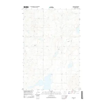
2014 Map of Lehr NW
USGS Topo · Published 2014About this map
Saint Lucas Cem and Sukut Cem sit within a landscape defined by its glacial potholes and the structured grid of rural section roads in Logan County. This 2014 survey captures the agricultural character of the region, where family-named burial grounds like Emanuels Cem and Hope Cem serve as primary landmarks for local history. The terrain is dominated by a high density of small sloughs and seasonal water bodies typical of the Prairie Pothole Region, influencing the winding nature of local routes like CR-2416. The cartography reveals how the township-and-range system overlays this complex hydrology, with north-south corridors such as 44th Ave SE and 49th Ave SE navigating around persistent wetlands.
Find a feature on this map
14 named features on this map. Tap any name to fly to it.
Don’t see what you’re looking for? This feature index may not catch every label — zoom into the map to look around manually.
Map Details
Editions of this 2014 Lehr NW Map
This is the sole edition of this map. No revisions or reprints were ever made.
Other maps of this area

1953 · Jamestown
USGS Topo · 1:250,000

1956 · Jamestown
USGS Topo · 1:250,000

1982 · Wishek NE
USGS Topo · 1:24,000

1982 · Lehr NW
USGS Topo · 1:24,000

1982 · Lehr NE
USGS Topo · 1:24,000

1982 · Lehr SW
USGS Topo · 1:24,000

1982 · Wishek
USGS Topo · 1:24,000
1982 · Lehr
USGS Topo · 1:24,000

1983 · Streeter SW
USGS Topo · 1:24,000

1983 · Streeter SE
USGS Topo · 1:24,000