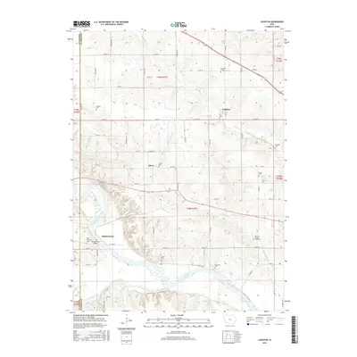
2015 Map of Leighton
USGS Topo · Published 2015About this map
The Des Moines River cuts through the southwest portion of this landscape, its path defined by the Bellefountain Bridge and the small settlement of Bellefountain. This area is characterized by several rural burial sites, including the Mahaska County Farm Cem and Rochester Cem, which provide specific points of interest for genealogists tracking local families. The town of Leighton serves as a primary hub in the north, while smaller locales like Olivet and features such as Muchakinock Cr reveal the historical drainage and settlement patterns of the county. The map detail reflects a transition from river-oriented activity near Cedar Creek to the established road networks of 220th St and 240th St, documenting the modern layout of this agricultural region.
Find a feature on this map
42 named features on this map. Tap any name to fly to it.
Don’t see what you’re looking for? This feature index may not catch every label — zoom into the map to look around manually.
Map Details
Editions of this 2015 Leighton Map
This is the sole edition of this map. No revisions or reprints were ever made.
Other maps of this area

1910 · Pella
USGS Topo · 1:62,500

1912 · Pella
USGS Topo · 1:62,500

1929 · Albia
USGS Topo · 1:62,500

1954 · Des Moines
USGS Topo · 1:250,000

1956 · Des Moines
USGS Topo · 1:250,000

1957 · Des Moines
USGS Topo · 1:250,000

1968 · Oskaloosa
USGS Topo · 1:24,000

1968 · Eddyville
USGS Topo · 1:24,000

1969 · Des Moines
USGS Topo · 1:250,000
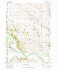
1980 · Leighton
USGS Topo · 1:24,000