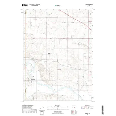
2018 Map of Leighton
USGS Topo · Published 2018About this map
Leighton and the small settlements of Olivet and Bellefountain anchor this study of the Iowa interior, where the Des Moines River cuts through the southwest corner of the quadrangle. The landscape is defined by its rural cemetery network, which includes several local-history landmarks such as Fishville Cem, Evergreen Cem, and the Mahaska County Farm Cem. These locations, along with Howard Cem and Butler Cem, provide a fine-grained look at the generational footprints of families across the Marion and Mahaska county line.
Find a feature on this map
39 named features on this map. Tap any name to fly to it.
Don’t see what you’re looking for? This feature index may not catch every label — zoom into the map to look around manually.
Map Details
Editions of this 2018 Leighton Map
This is the sole edition of this map. No revisions or reprints were ever made.
Other maps of this area

1910 · Pella
USGS Topo · 1:62,500

1912 · Pella
USGS Topo · 1:62,500

1929 · Albia
USGS Topo · 1:62,500

1954 · Des Moines
USGS Topo · 1:250,000

1956 · Des Moines
USGS Topo · 1:250,000

1957 · Des Moines
USGS Topo · 1:250,000

1968 · Oskaloosa
USGS Topo · 1:24,000

1968 · Eddyville
USGS Topo · 1:24,000

1969 · Des Moines
USGS Topo · 1:250,000
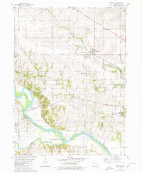
1980 · Leighton
USGS Topo · 1:24,000