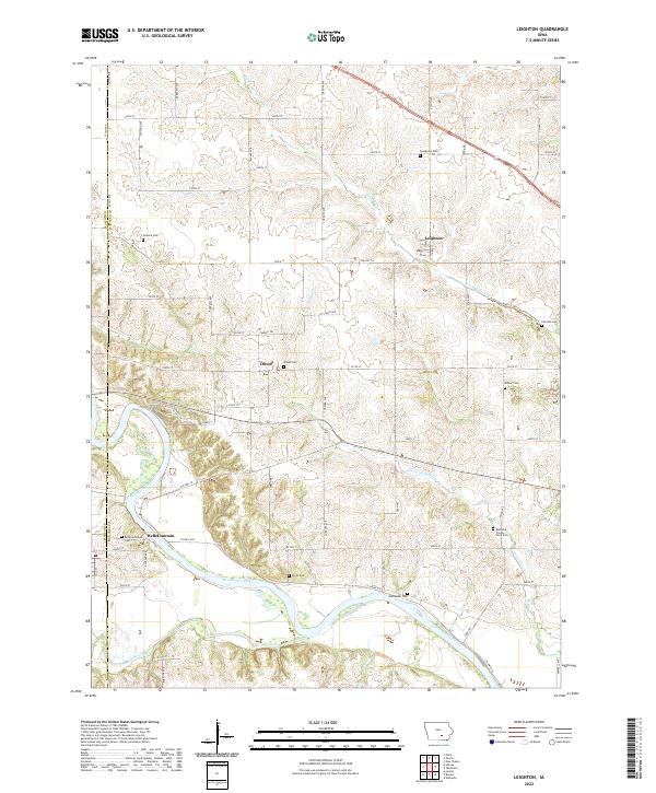
2022 Map of Leighton
USGS Topo · Published 2022About this map
The Des Moines River cuts through the southwestern corner of this Iowa landscape, framing a region where agricultural history and small-town roots converge at the border of Marion and Mahaska counties. The settlement of Leighton serves as a primary local hub, while the smaller hamlets of Olivet and Bellefountain remain established markers of the community's nineteenth-century development.
Find a feature on this map
58 named features on this map. Tap any name to fly to it.
Don’t see what you’re looking for? This feature index may not catch every label — zoom into the map to look around manually.
Map Details
Editions of this 2022 Leighton Map
This is the sole edition of this map. No revisions or reprints were ever made.
Other maps of this area

1910 · Pella
USGS Topo · 1:62,500

1912 · Pella
USGS Topo · 1:62,500

1929 · Albia
USGS Topo · 1:62,500

1954 · Des Moines
USGS Topo · 1:250,000

1956 · Des Moines
USGS Topo · 1:250,000

1957 · Des Moines
USGS Topo · 1:250,000

1968 · Oskaloosa
USGS Topo · 1:24,000

1968 · Eddyville
USGS Topo · 1:24,000

1969 · Des Moines
USGS Topo · 1:250,000
1980 · Leighton
USGS Topo · 1:24,000